Our recent project for Fiji, Vanuatu, Western Samoa, Tonga, and Nauru provides telecom companies with the perfect and cost-effective RF planning solution within the country.
The realized project includes 10m resolution 2.5D geodata and nationwide Population distribution models for detailed and precise site planning and network optimization tasks.
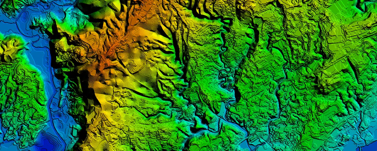
2.5D RF maps allow wireless planners to improve predictions of signal attenuation and assist in finding the optimal location of network base stations and other wireless system transmitters within a country.
2.5D map provides valuable information about the surrounding environment, which helps predict radio wave propagation, interference patterns, and signal strength in regions.
The Clutter Height layer or Digital Heights Model (DHM) is an essential part of 2.5D maps that represents the elevation differences in the terrain, providing detailed data on the height of the surface at specific points. Clutter height data helps to determine the best locations for communication towers and antennas.
A population density map is also an essential tool for RF planners.
Our population density maps of 10 m resolution are based on the last available census data and 10m resolution clutter maps (land use classification) produced from up-to-date satellite images, allowing us to distribute population data realistically.
Explore our maps for Oceania here (Tonga, Fiji, Vanuatu), and feel free to contact us for the data samples.

