Solar energy and Solar Cadastre
Today, Photovoltaics (PV), also called solar cells, is one of the fastest-growing renewable energy technologies and is ready to play a significant role in the future global electricity generation mix.
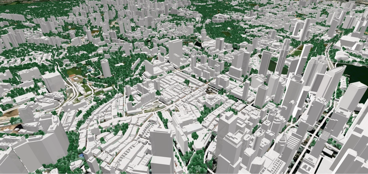
Solar resource assessments are a core method for developing and deploying solar energy plants. In turn, 3D buildings and 3D vegetation are key initial sources for evaluating solar resource availability and running solar energy simulations.
High-accuracy 3D datasets provide high solar project value and increase its performance. Therefore, data details, accuracy, and relevance are critical parameters for solar resource assessment and modeling.
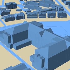
Produced from HR stereo images, aerial images, or LIDAR data, LOD2 3D buildings manufactured by Visicom involve such small elements as roof furniture, elevator shafts, towers, spires, and sloping roof elements.
The assigned roof parameters:
- Azimuth
- Tilt angle
- Area of flat parts
- Roof height
- Roof ID
- AGL/AMSL
These parameters are calculated for each element separately, creating the background for producing solar rooftop maps (solar cadaster). The high accuracy of the building elements’ footprints is tailored explicitly to the estimation and calculation of the solar energy potential for each roof.
A complete set of 3D data may include the following:
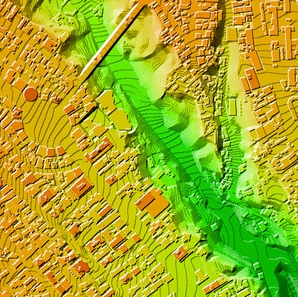
- Digital Terrain Model
- Digital Surface Model
- 3D buildings
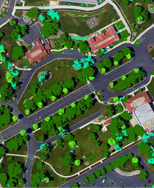
- 3D vegetation crowns
- Orthoimage
We guarantee
Our manager and production teams are customer-oriented professionals highly skilled in RF planning process. Our production and sales infrastructure allows to realize the projects of various difficulty, complexity and scope supporting high-level data quality
Precise and up-to-date mapping information
Detailed and high-resolution terrain
Delivery in any RF planning tool and GIS format
Extra-accurate 3D buildings
Flexible price fitted to customer budget
Flexible price fitted to customer budget
Data formats
Alcatel A955
ICS Telecom
MapInfo
Pathloss
ASCII XYZ
ER Mapper Raster
Aircom Asset
NetPlan
Microstation
Mentum Ellipse
Raster images
ENVI Image Format
Atoll Forsk
AutoCAD
Neva
Mentum Planet
TIFF and GeoTIFF
Generic Binary
CelPlanner
ESRI ArcGIS
Odyssey
Nokia NetAct
ERDAS Imagine Image
Order product
Please, contact us directly if you have question
We always reply within 24 hours


