Products
Our company endeavors to provide custom oriented data for any purposes by offering the widest range of products and solutions
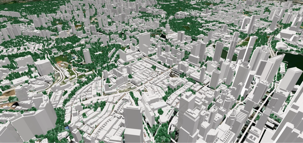
3D City Models
3D City Models
We produce Digital 3D maps (LOD1, LOD2) for any territory, providing customized solutions for each client.
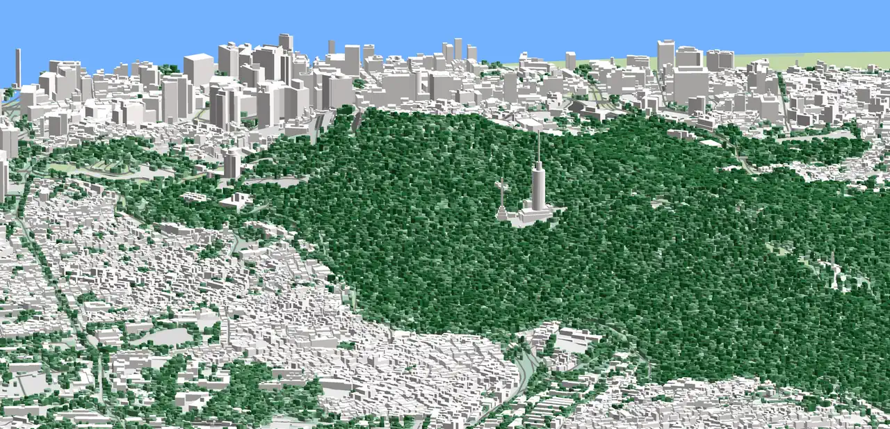
Digital Maps For Telecom (RF Map)
Digital Maps For Telecom (RF Map)
Starting with the implementation of the 2G networks and further deployment 3G, 4G and 5G ones we support our customers by providing them with highly accurate geospatial data.
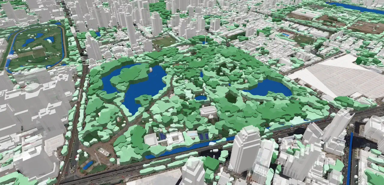
2D and 3D Extraction
2D and 3D Extraction
Depending on project goal and requirements, they can be represented as 2D outlines or 3D objects with absolute height as an assigned attribute.
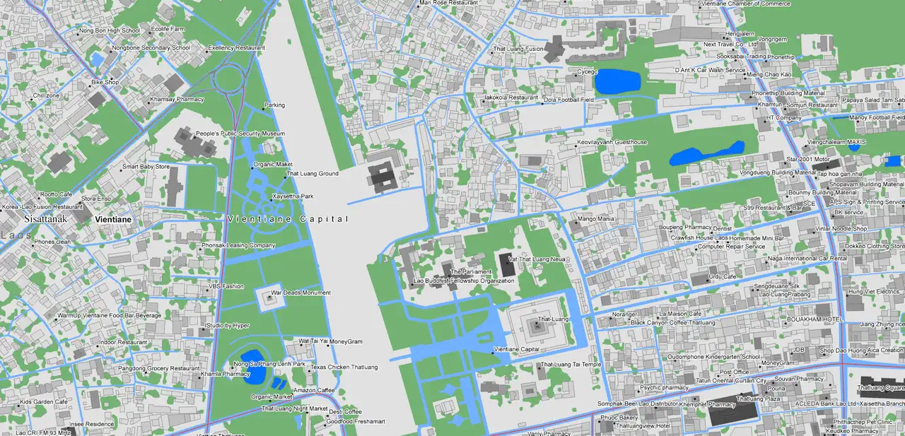
Geospatial Data
Geospatial Data
Visicom vector data include many types of geographical datasets of the most popular scales and GIS formats. Digital Maps may be customized according to customers’ specific needs. Our production capabilities are not limited to any region.
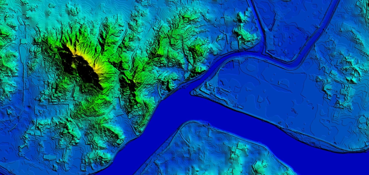
Elevation Data
Elevation Data
Visicom manufactures cost-effective geodata for wireless telecommunication industry worldwide. We have been supporting our customers since their deployment of mobile networks.
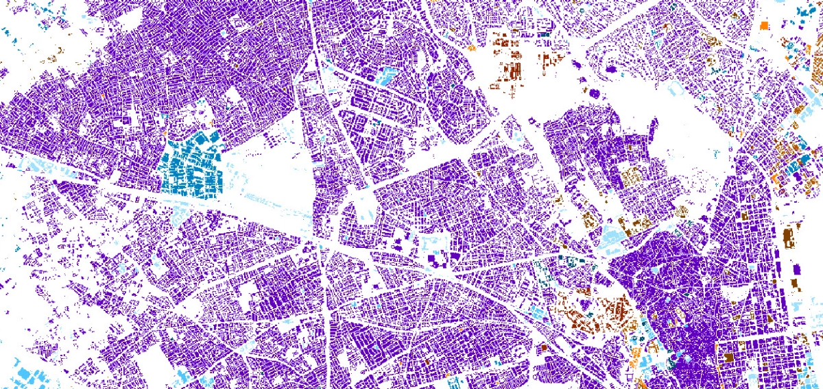
Population Maps
Population Maps
Population Map or Population Distribution Model is a significant element for wireless network planning. PopMap enables to process of values of population distribution with the level of detail from countrywide areas to separate cities.
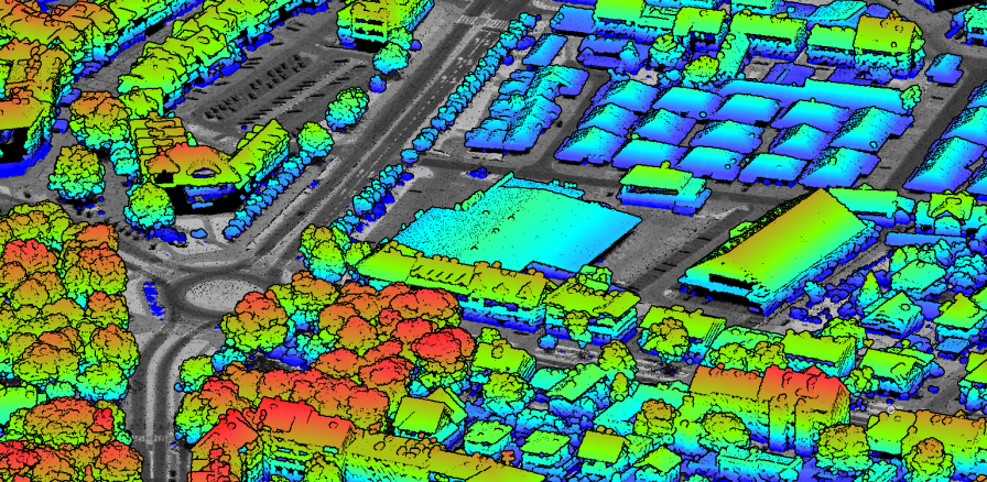
LiDAR Data Processing
LiDAR Data Processing
We specialize in classifying LiDAR data to identify key features such as terrain, hydrology, vegetation, buildings, roads, PTLs, and other infrastructure elements

RailGeoKit: Accurate mapping of railway networks
RailGeoKit: Accurate mapping of railway networks
Digital 2.5D / 3D Maps for Railway Infrastructure Mapping a route to 5G rail corridors is a key step in this process, enabling precise planning of network infrastructure to ensure full coverage and high quality of service.