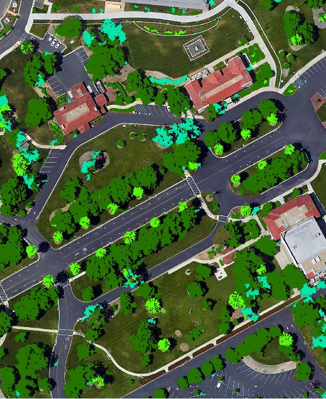
2D and 3D Extraction
We produce high-resolution databases of all above-ground features – buildings, vegetation, and artificial engineering constructions.
Depending on the project goals and requirements, they can be represented as 2D shapes or 3D objects with the assigned attribute of absolute or relative height.
Buildings and bridge shapes and tree polygons are created using an automated production process of object recognition from high-resolution multispectral satellite images. Our Machine Learning methods developed based on Convolutional Neural Networks and the Deep Learning Techniques allow to extract 3D and 2D shapes for the entire country fast and at a high accuracy level.
Buildings features:
- 95% of buildings with area > 25 sq.m matched automatically through the ML algorithm
- 100% coverage completeness is achieved due to manual post-processing and data validation
- X,Y, Z accuracy: ± 3m
Vegetation features:
The vegetation is diverse in nature and can be presented differently in the satellite image depending on various types, colors, heights, and seasons.
Our experts accomplished the training of neural network models using the training set comprised of 30 thousand objects of various vegetation patterns worldwide. This made it possible to achieve a high level of accuracy - 95-98% for test areas.
Obviously, such accuracy cannot be reached for the real data but due to the mandatory quality check process and manual data verification, the final models are very close to reality.
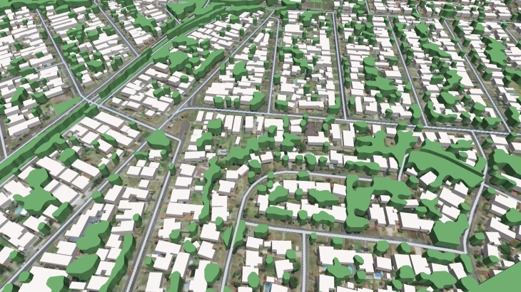
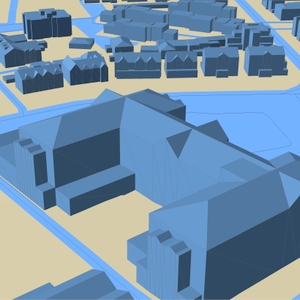
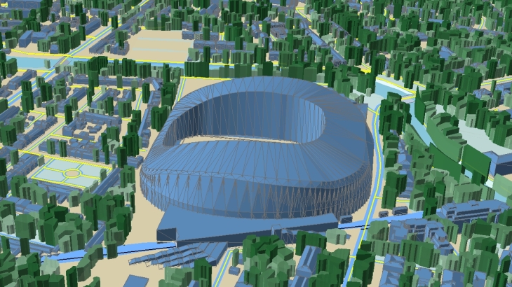
3D buildings and 3D Trees geodata along with related Digital Terrain Model (DTM), Clutter (LandUse) model, and basic vectors are perfectly suited for 5G networks deployment both in cities or high-urbanized areas and suburbs as well as for countrywide network design.
Accurate 2D and 3D buildings and vegetation are substantial components of multiple applications:
- WEB/GIS services
- urban and cadaster planning
- environmental and utility planning
- geomarketing
- etc.
We support all your projects and have products conforming to your requirements and budget.
We guarantee
Our manager and production teams are customer-oriented professionals highly skilled in RF planning process. Our production and sales infrastructure allows to realize the projects of various difficulty, complexity and scope supporting high-level data quality
Precise and up-to-date mapping information
Detailed and high-resolution terrain
Delivery in any RF planning tool and GIS format
Extra-accurate 3D buildings
Flexible price fitted to customer budget
Flexible price fitted to customer budget
Data formats
Alcatel A955
ICS Telecom
MapInfo
Pathloss
ASCII XYZ
ER Mapper Raster
Aircom Asset
NetPlan
Microstation
Mentum Ellipse
Raster images
ENVI Image Format
Atoll Forsk
AutoCAD
Neva
Mentum Planet
TIFF and GeoTIFF
Generic Binary
CelPlanner
ESRI ArcGIS
Odyssey
Nokia NetAct
ERDAS Imagine Image


Order product
Please, contact us directly if you have question
We always reply within 24 hours