3D Tree Models
3D Trees (Canopy) Model is essential for 5G networks precise modeling.
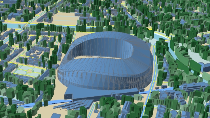
5G networks provide increased speeds of signal and network capacity. However, the signal is susceptible to any obstacle due to the short propagation distance. So, a vegetation array or even a single big tree can block a signal and should be taken into account in the planning process.
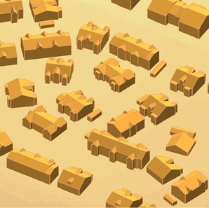
Visicom 3D data contain 3D TREES MODEL derived from the stereo pairs of high-resolution satellite imagery, lidar data, airphotos. Tree shapes are produced using an automated production process of object recognition from high-resolution multispectral satellite images. Our Machine Learning methods, developed based on Convolutional Neural Networks and Deep Learning Techniques, allow obtaining tree shapes for the entire country fast and at a high accuracy level.
3D TREES MODEL MADE SPECIFICALLY FOR 5G PLANNING REPRESENTS DETAILED VEGETATION WITH ASSIGNED HEIGHT ATTRIBUTES:
- Vector vegetation layer is delivered as polygons with assigned height attributes
- Raster vegetation layer is provided as a matrix with assigned height attributes to each cell (1x1 m or 2x2 m)
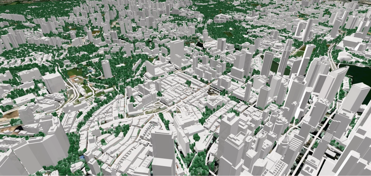
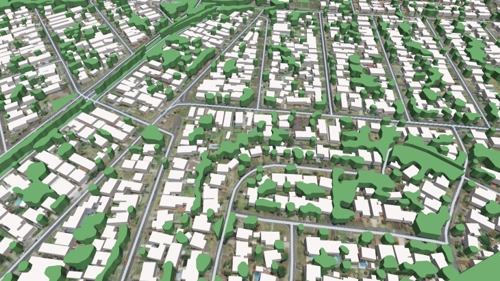
3D Tress geodata along with related 3D buildings Digital Terrain Model (DTM), Clutter (LandUse) model, and basic vectors are ideally suited for 5G networks deployment in cities or high-urbanized areas and suburbs as well as for countrywide network design.
Download free 3D Trees Model Sample tailored for needs of RF Planning
We guarantee
Our manager and production teams are customer-oriented professionals highly skilled in RF planning process. Our production and sales infrastructure allows to realize the projects of various difficulty, complexity and scope supporting high-level data quality
Precise and up-to-date mapping information
Detailed and high-resolution terrain
Delivery in any RF planning tool and GIS format
Extra-accurate 3D buildings
Flexible price fitted to customer budget
Flexible price fitted to customer budget
Data formats
Alcatel A955
ICS Telecom
MapInfo
Pathloss
ASCII XYZ
ER Mapper Raster
Aircom Asset
NetPlan
Microstation
Mentum Ellipse
Raster images
ENVI Image Format
Atoll Forsk
AutoCAD
Neva
Mentum Planet
TIFF and GeoTIFF
Generic Binary
CelPlanner
ESRI ArcGIS
Odyssey
Nokia NetAct
ERDAS Imagine Image


Order product
Please, contact us directly if you have question
We always reply within 24 hours