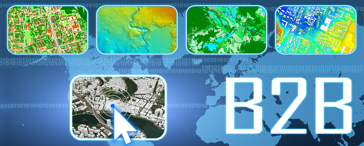
With the rapid adoption of technologies such as 5G, Artificial Intelligence (AI), the Internet of Things (IoT), and cloud computing, new horizons for B2B solutions are emerging. Geographic Information Systems (GIS) and digital models are becoming key tools in this evolution. By integrating innovative technologies, geodata providers can offer businesses more detailed, scalable, and efficient solutions.
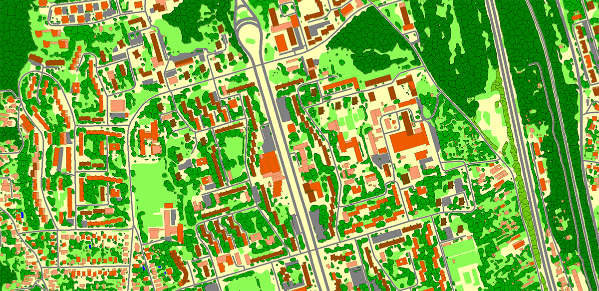
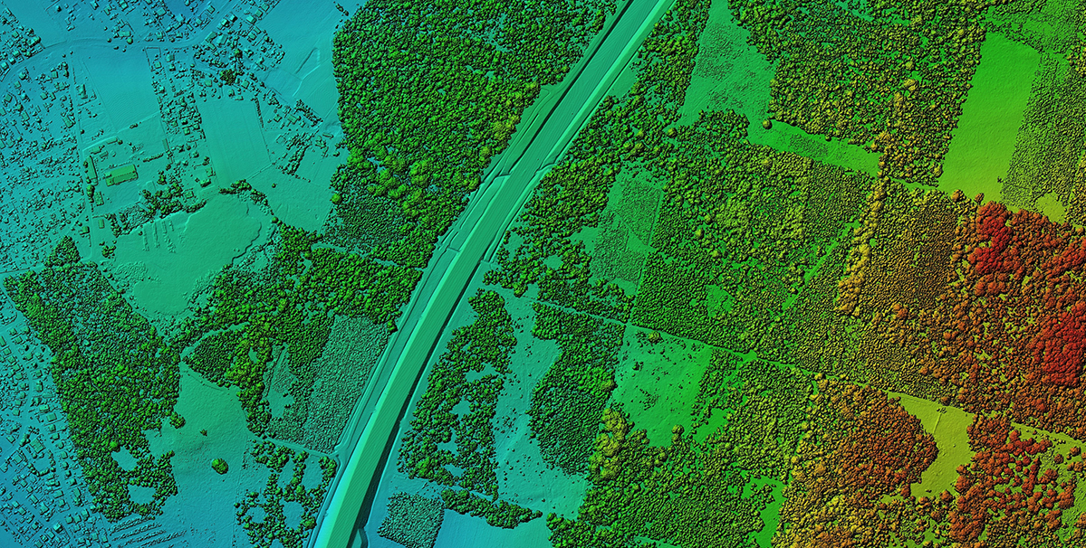
Digital models such as 3D, 2D, and 2.5D accurately represent physical objects and territories. They hold immense potential for application across various B2B sectors:
Geospatial analysis:
-
- Digital models allow for analyzing large amounts of geospatial data, making them useful for transport logistics, infrastructure planning, and facility location.
- For instance, 3D Maps can be used to identify the best routes for placing 5G base station
City infrastructure planning
-
-
- Modeling Smart Cities using digital maps enables the optimization of urban systems such as transportation, communications, and energy
- The application of IoT combined with GIS helps efficiently manage traffic flow and reduce energy consumption costs
-
Private Network Management:
-
- Telecom companies can develop specialized solutions for private networks, focused on secure and efficient communication between business entities
- For instance, using cloud platforms with GIS integration enables businesses to access real-time geospatial data, enhancing decision-making and operational efficiency
Technologies that change the approach to GIS
IoT and Edge Computing
- IoT generates massive amounts of data that require real-time processing. Thanks to edge computing, this data is analyzed directly on devices, reducing latency and increasing efficiency.
- For example, in agriculture, IoT sensors can transmit data about soil conditions, and GIS visualizes this data in the form of maps for effective crop management.
Cloud Computing and AI
- Cloud platforms enable the storage and processing of vast volumes of geospatial data, including for 3D modeling purposes.
- AI automates data analysis, significantly accelerating decision-making. In the industry, this can be used to predict production risks or analyze areas for resource extraction.
Applications of Digital Models Across Industries
Smart Cities:
-
-
3D models support the management of urban systems, urban planning, and environmental monitoring.
-
According to Frost & Sullivan, by 2025, there will be over 26 "smart cities," 16 of which will be in North America and Europe.
-
The foundation of their development lies in geoinformation models that help manage infrastructure, transport, and energy resources. Read more here.
-

Agriculture:
-
GIS and digital models optimize resource usage, monitor crop yields, and manage water resources.

Industry:
- Integrating digital models into production processes improves logistics accuracy and reduces transportation costs.
Energy:
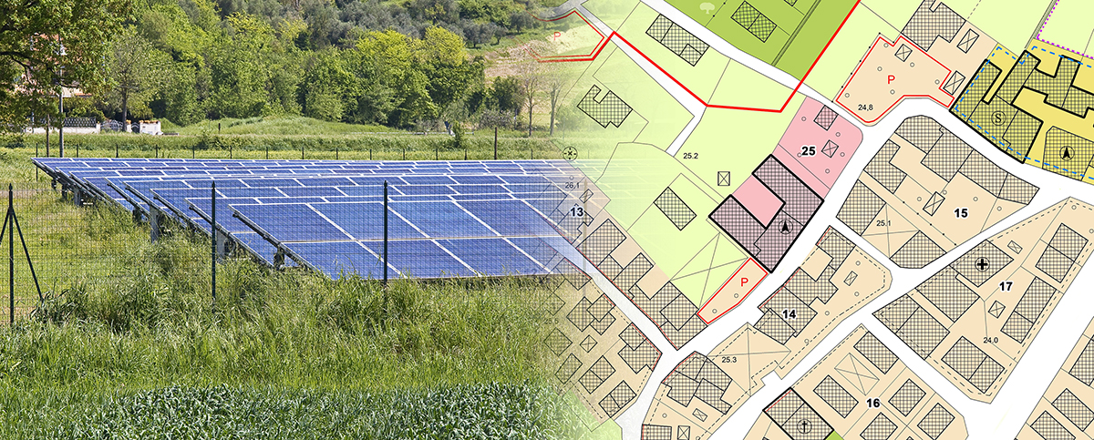
- GIS analysis simplifies the placement of solar panels and wind turbines.
- For example, in Denmark, wind turbines are installed using 3D terrain models that consider topography, wind direction, and transportation accessibility, continually improving energy generation efficiency.

Conclusion:
Digital models combined with advanced technologies enable the implementation of innovative and efficient B2B solutions. From smart cities to agriculture, these tools open new business opportunities, fostering sustainable development and digital transformation.


