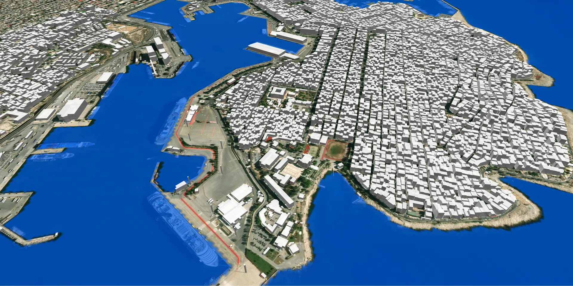
Greece countrywide 3D model was designed for the needs of the telecom market, as well as for the range of GIS applications. Developed with our CNN model, 3D geodata offer a comprehensive tool to enhance your projects and explore the buildings and landscapes of Greece in stunning detail.
With our extensive expertise in geospatial data solutions, this Greece 3D model guarantees exceptional precision and accuracy. Every aspect of the built-up areas is mapped, providing a true-to-life virtual representation.
We are happy to support telecom companies in their tasks of network optimization, infrastructure deployment, and coverage analysis using this advanced 3D model. With detailed terrain information and accurate depictions of buildings, roads, and landmarks, telecom professionals can make informed decisions to improve network performance and expand services efficiently.
GIS specialists can also benefit from the Greece 3D model, as it empowers them to create accurate geospatial analyses, visualize data, and make informed decisions. Whether it's urban planning, environmental assessments, or transportation optimization, this 3D model provides a robust foundation for comprehensive spatial analysis.

