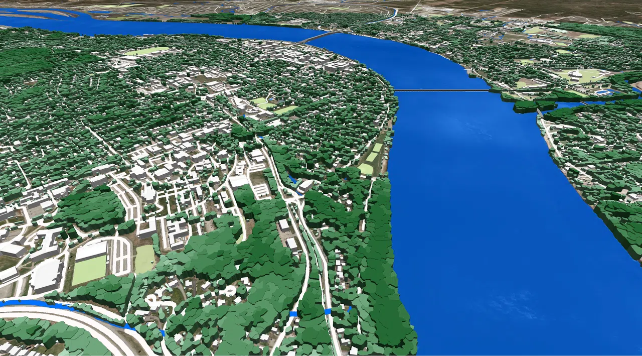
2m resolution 3D maps of 14 Canadian cities were recently produced for massive MIMO mm-wave network planning (5G) and advanced 3D simulation in the urban environment.
3D city models of 8 cities have been added to our list of ready-to-use high-resolution geodata for Canada.
Now it includes:
- Toronto
- Ottawa
- Edmonton
- Calgary
- Vancouver
- Halifax
- Moncton
- Saint_John
- Fredericton
- Summerside
- Charlottetown
- St John's
- Sackville
The geodata includes 3D vegetation, 3D building vectors, 3D obstacles (bridges, chimneys, etc.), Road network, Digital Terrain Model (DTM), Digital Surface Model (DSM), Clutter/ Land Use classification.
Due to the high sensitivity of mmWaves from all obstacles, a successful propagation signal setup requires very accurate and detailed obstruction representation, including small building construction details and a precise 3D canopy.
3D model of Fredericton with small building construction details and a precise 3D canopy

Our 3D maps provide a comprehensive solution for RF network planning, as well as for analysis, and operation in multiple industries like Smart City planning, Transportation, Geotargeting, etc.
Contact us to request the free data sample.


