Smart Cities IoT
5G ensures making networks several times faster, increasing network capacity, and opening possibilities to cover not only dense built-up territories in cities but also suburbs and villages. It is going to really unlock the potential of IoT and Smart city development, connecting all people and all things in our ordinary life: transport, energetics, healthcare, manufacturing, business, public safety, etc.
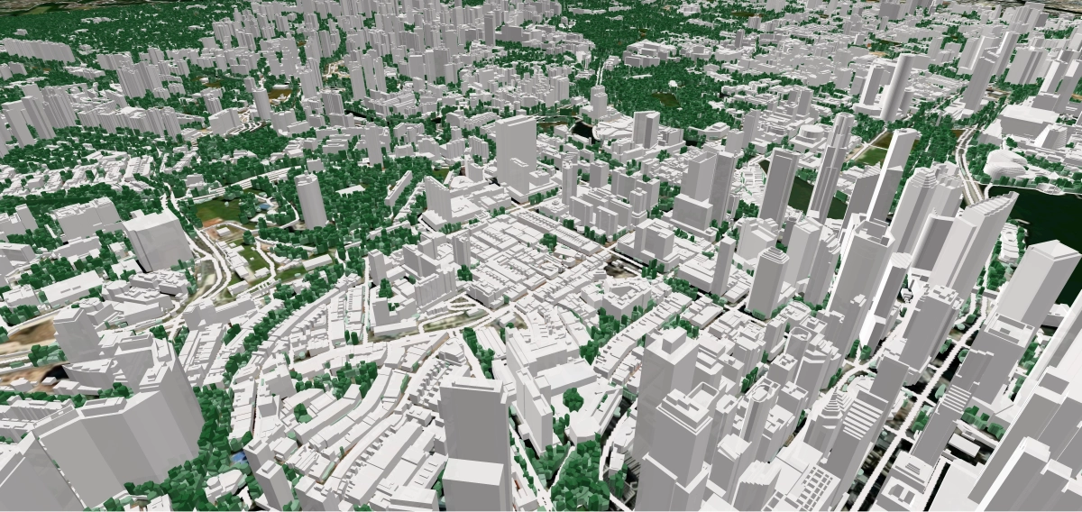
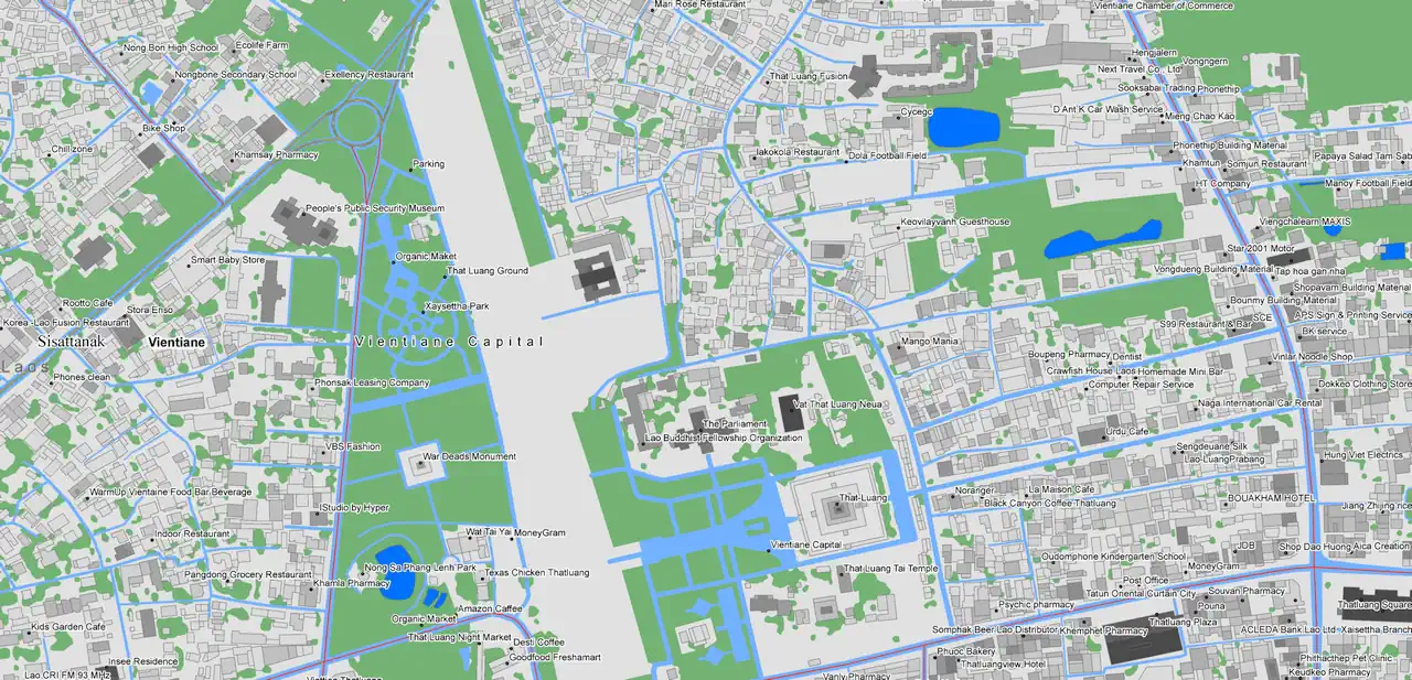
3D MAPS IS THE FIRST STEP AND A BASIS FOR SMART COMMUNITY CONSTRUCTION.
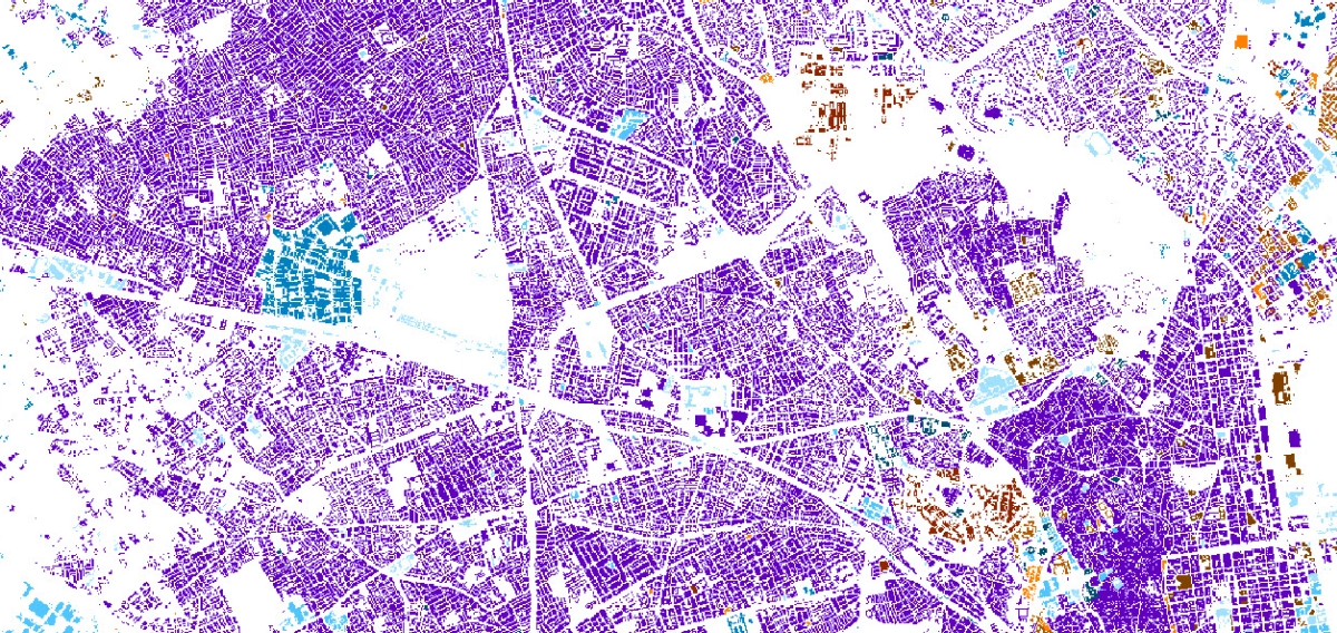
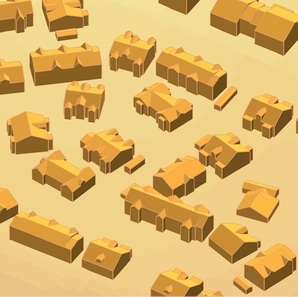
Visicom is experienced in generating 3D buildings at different levels of detail (LOD) along with 3D vegetation and other geodata about the urban environment.
Our 3D Maps create a real-world view for different tasks of smart community development:
- Urban planning: analysis and visualization
- Risk assessment, response planning for emergencies
- Environmental management and planning in cities and suburbs
- Utilities planning: water, electricity, waste
- Constructions
- Real-estate management
- Geo-marketing
- Transport and navigation
- Emergency services
- Tourism
3D Maps are delivered in a format compatible with the most 3D application tools like Rhino, ArcGIS and CAD.
All major GIS formats are supported.
We guarantee
Our manager and production teams are customer-oriented professionals highly skilled in RF planning process. Our production and sales infrastructure allows to realize the projects of various difficulty, complexity and scope supporting high-level data quality
Precise and up-to-date mapping information
Detailed and high-resolution terrain
Delivery in any RF planning tool and GIS format
Extra-accurate 3D buildings
Flexible price fitted to customer budget
Flexible price fitted to customer budget
Data formats
Alcatel A955
ICS Telecom
MapInfo
Pathloss
ASCII XYZ
ER Mapper Raster
Aircom Asset
NetPlan
Microstation
Mentum Ellipse
Raster images
ENVI Image Format
Atoll Forsk
AutoCAD
Neva
Mentum Planet
TIFF and GeoTIFF
Generic Binary
CelPlanner
ESRI ArcGIS
Odyssey
Nokia NetAct
ERDAS Imagine Image


Order product
Please, contact us directly if you have question
We always reply within 24 hours