Telecom
The rapid development of new telecommunication generation – 5G networks, enabling humanity to enter to the contemporary era of connection and data interaction, is only possible with high-quality 3D cities models ensuring adequate signal radio planning stages, and as a result smooth functioning.
Visicom 3D Geodata adapted to 5G networks demands show all type terrain features, as well as detailed 3D buildings and 3D canopies High-quality and up-to-date maps produced for telecom purposes, are fitted to advanced requirements of cmWave and mmWave frequencies.
The rapid development of new telecommunication gen...
Smart Cities IoT
5G ensures making networks several times faster, increasing network capacity, and opening possibilities to cover not only dense built-up territories in cities but also suburbs and villages. It is going to really unlock the potential of IoT and Smart city development, connecting all people and all things in our ordinary life: transport, energetics, healthcare, manufacturing, business, public safety, etc. Visicom is experienced in generating 3D buildings at different levels of detail (LOD) along with 3D vegetation and other geodata about the urban environment.
5G ensures making networks several times faster, i...
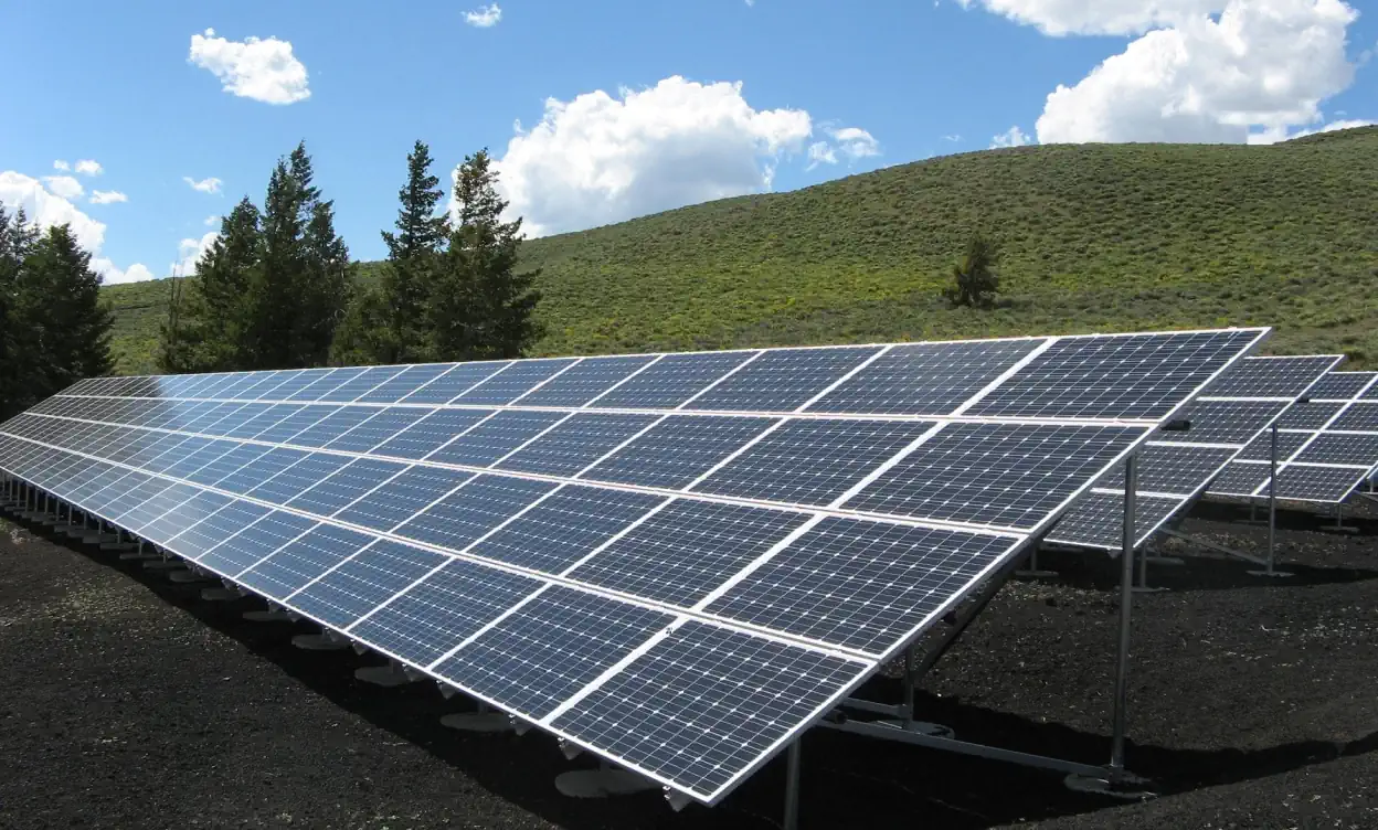
Solar energy and Solar Cadastre
Solar resource assessments are a core method for developing and deploying solar energy plants. In turn, 3D buildings and 3D vegetation are key initial sources for evaluating solar resource availability and running solar energy simulations.
High-accuracy 3D datasets provide high solar project value and increase its performance. Therefore, data details, accuracy, and relevance are critical parameters for solar resource assessment and modeling.
Solar resource assessments are a core method for d...
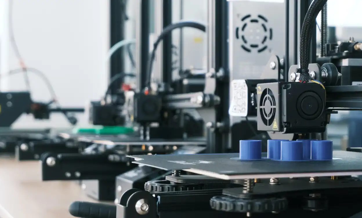
3D Models for 3D Printing
3D printer is not a know-how anymore, it can be simply found at neighbor’s home. Visicom Company also doesn’t stand still. We have adapted our 3D models to 3D printing and provide them in the most popular formats, dividing into tiles (parts of the models tailored to the 3D printing size).
So-called architectural Microscape Cityscape (micro models of the city) models using for the printing of 3D maps...
3D printer is not a know-how anymore, it can be si...
Transportation
Visicom provides precise and relevant base maps for navigation, automotive and railway planning, helping make the data-driven decisions and simplifying the budget planning for the Transportation industry.
Our mapping products:
- Land Use, Basic vector
- Terrain
- Population map
- 3D buildings etc.
Visicom provides precise and relevant base maps fo...
Forestry
Visicom produces the geospatial layers of forests through vegetation recognition technology based on middle or high-resolution satellite images, depending on the territory and project goals. We use our image processing technology containing data semantic segmentation, vegetation extraction, detection of the changes, geospatial analysis, and deforestation calculation.
Visicom produces the geospatial layers of forests...