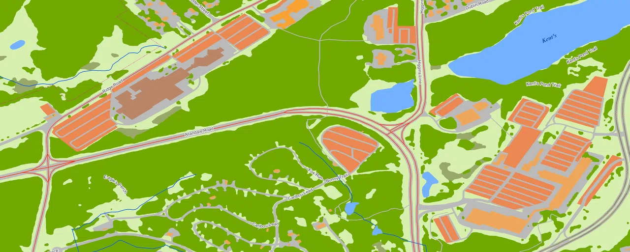
We continue cooperating with Canadian telecom companies, providing them 2D and 3D mapping products for 5G network design. The best choice for 5G rollout in large regions is 10 m resolution Regional model with an extended set of clutter classes, more detailed buildings structure classification and type of vegetation layers, and 5m vertical accuracy in DTM.
2D Regional model of Newfoundland created using AI technology of multispectral satellite images processing, provides accurate, consistent, and detailed landscape and urbanized areas classification
Products features:
- 10m resolution
- Accurate land use classification
- Last available administrative division
- Imagery source: 5m and 10m resolution multispectral images
- Vintage: 2022
- Easy to use due to supporting of all major RF-planning tools and GIS formats
Supported industries:
- Telecom
- Climate change mitigation
- Flood mapping
- Green infrastructure deployment


