News & Events
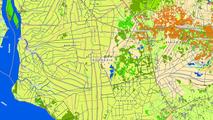
2D Country map of Indonesia


Order product
Please, contact us directly if you have question
We always reply within 24 hours
Contact us
Please, contact us directly if you need any information
Order product
Please, contact us directly if you have question
We always reply within 24 hours
Please, contact us directly if you need any information