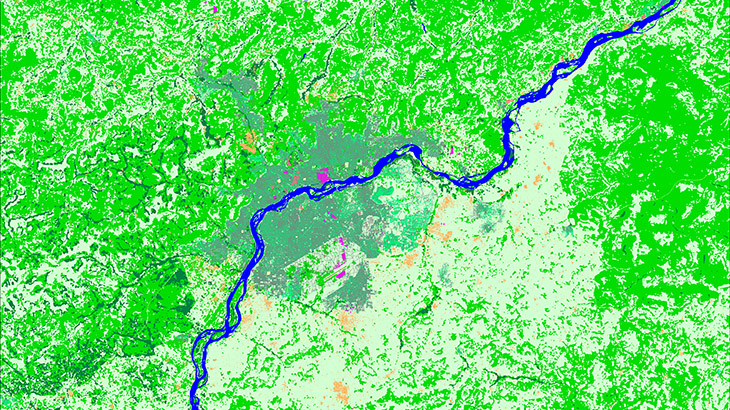
**2D Regional map of Mali (Modèle (Сarte) numérique 2d du Mali) covers 1 257 000 sq. km. The latest vintage of Sentinel satellite images were used for land use structure recognition.**
DTM produced from recalculated SRTM V4 data and topographic maps of 1:100 000 scales. Clutter/Land Use/Land Cover are classified into 19 classes of landscape, vegetation, and built-up areas.
[**Our geodata database contains over 4000 cities and 80+ countries.**][2]
[Please visit our web-page: 2D REGIONAL MODELS.][3] [1]: mailto:[email protected]?lang=en [2]: https://visicomdata.com/geodata-portfolio?lang=en&lang=en&lang=en [3]: https://visicomdata.com/products/data_for_wireless_planning/regional_models?lang=en

