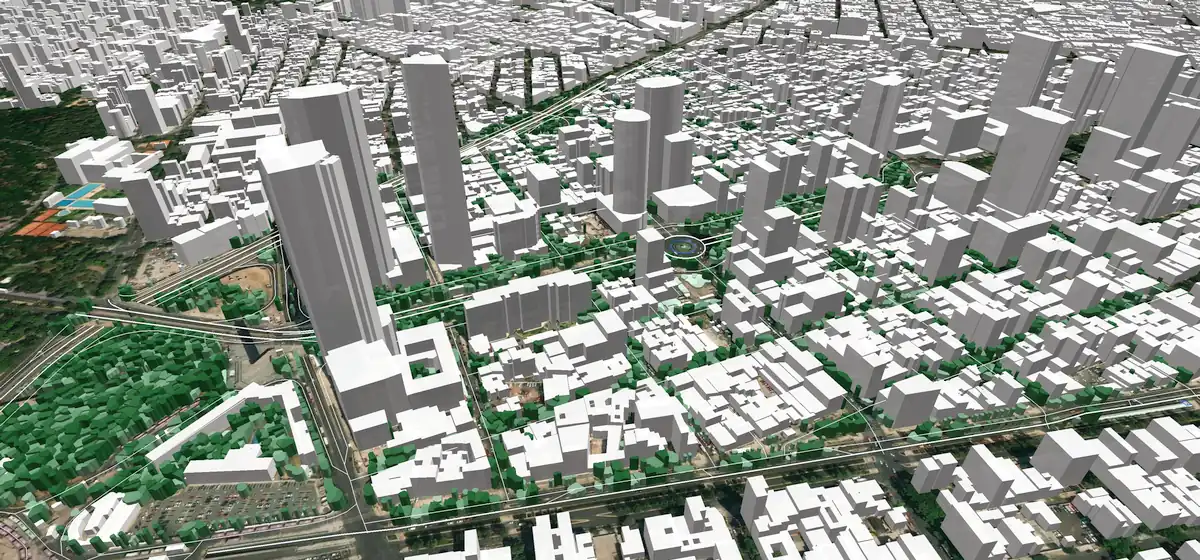
3D RF Map of Mexico City
Mexico City is the most populous city in North America, with an area of about 1500 sq.km and more than 3500 sq.km together with suburbs.
The city needs reliable and efficient communication networks with its growing population and multiple industries. Radiofrequency (RF) planning is an important part of any wireless communication network, and having an accurate 3D map of the entire city is essential for successful RF planning.
A 3D map provides a comprehensive overview of the physical environment. It gives network planners detailed information about terrain features such as buildings, trees, hills, valleys, and other objects that can interfere with radio waves. By using 3D mapping technology to capture these features in a digital format accurately, network planners can better understand how they will affect their wireless networks.
RF planning has become even more critical for 5G network deployment. 5G requires higher frequencies, making it more susceptible to interference from physical objects such as buildings or trees. To ensure reliable coverage across the urban landscape, it is essential to have access to detailed 3D maps that accurately capture all aspects of its physical environment, so they can design optimal 5G networks for the area.
Ultimately, this will help ensure users have access to quality 5G services across Mexico City while also assisting operators to maximize their return on investment when deploying new networks in this densely populated city.
Our 3D map of Mexico City covers 3500 sq. km providing a high accuracy level of details and supports all major RF-tool and GIS formats: Atoll, Asset, Planet, ISC Telecom, ESRI shp, etc
You can download our brochure about the Map of Mexico City
Contact us for the free demo.

