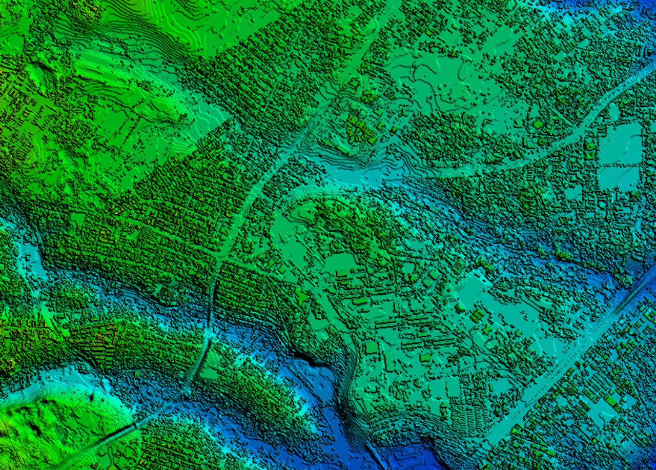
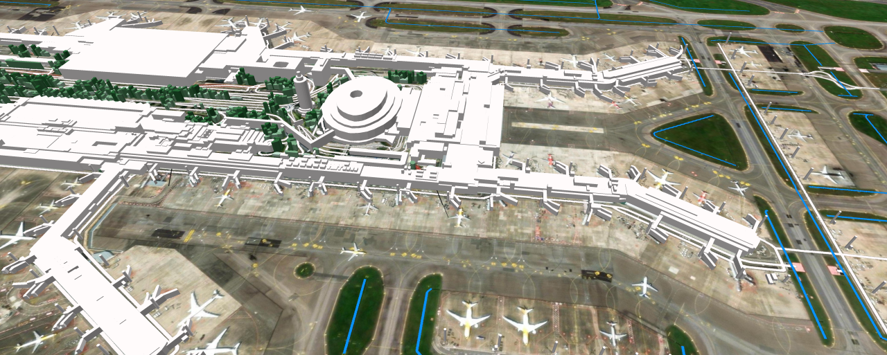
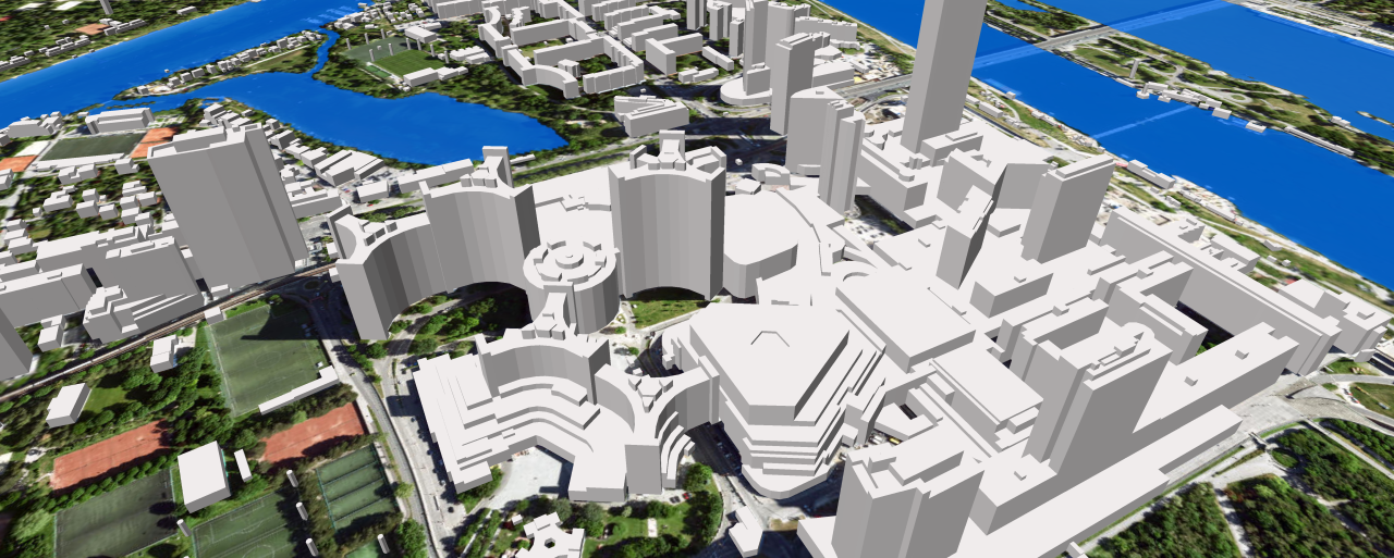
In the fast-evolving telecommunications landscape, the pursuit of superior coverage and connectivity has led to groundbreaking innovations. One such paradigm shift is the adoption of 3D technology to achieve nationwide coverage, heralding a new era in wireless communication. This innovative approach transcends traditional 2D models for Regional planning, offering a more immersive and accurate representation of our surroundings.
Telecom companies can benefit enormously from accurate 3D maps when planning to roll out 5G networks and need to know about the density and height of buildings in large areas (as well as other obstacles such as trees and topography). This information can help identify the best location for cell towers.
Let's delve into the key aspects that make 3D nationwide coverage a transformative leap in connectivity:
1. Precision in Network Planning:
3D mapping technology provides unparalleled precision in the planning and deployment of wireless networks. By incorporating detailed 3D models of cities, towns, and rural areas, telecommunication companies can strategically position antennas and base stations to optimize signal strength and coverage. This precision ensures efficient utilization of resources and enhances the overall performance of the network.
Precise and up-to-date geodata ensure the relevant information to estimate all the possible outcomes and make a better decision.
Our 3D BUILDINGS AND 3D TREES provide a high level of detail, in both urban and rural areas. 3D data creates a complete digital twin of the country, along with other layers of geodata used for regional planning:
- Street-road networks
- Railways
- 3D Bridges
- Terrain
- Hydrography
- Land use
- Population density
- Geodata is delivered in the formats of most GIS and radio planning tools.
2. Enhanced User Experience:
The shift to 3D nationwide coverage is not only about technical advancements, but also about improving the end-user experience. With a more accurate representation of the environment, users can expect seamless connectivity and enhanced services. Whether in urban jungles or remote landscapes, 3D coverage ensures a consistent and reliable connection for users across the nation.

3. Addressing Topographical Challenges:
Traditional coverage models often struggle to address topographical challenges, especially in regions with varied landscapes. 3D mapping technology, powered by advanced algorithms, can adapt to diverse terrains, providing optimized coverage even in geographically complex areas. This adaptability is crucial for achieving comprehensive nationwide coverage.
Our research and development teams have combined our GIS expertise with advances in artificial intelligence. This combination provides a tool that makes it easy, fast, and cost-effective to create 3D models of cities, towns, villages, and even remote areas – anywhere on Earth.
4. Future-Proofing Connectivity:
As we enter the era of 5G and beyond, future-proofing our connectivity infrastructure becomes imperative. 3D nationwide coverage not only meets the current demands for connectivity but also lays the foundation for the seamless integration of upcoming technologies. This forward-looking approach ensures that our communication networks remain at the forefront of technological advancements.
Currently, 3D countrywide coverage is available for:
UAE ▪ TURKEY ▪ BAHRAIN ▪ CROATIA ▪ CZECH REPUBLIC ▪ GREECE ▪ SLOVAKIA ▪ MEXICO ▪ TAIWAN ▪AUSTRIA ▪ MACEDONIA ▪ VIETNAM ▪ THAILAND
Our Case Study: 3D Nationwide Coverage Based On AI Algorithms
We offer accurate 3D buildings and vegetation data as important components of multiple applications for urban planning, utility planning, and environmental management, including solar energy assessments where the development of pitched roofs is required.

3D geodata is useful for a range of markets:
- Logistics
- Retail and marketing
- Fiber deployment
- Property development
- Solar energy
- Disaster recovery
- Environmental management


