Our geodata supports companies worldwide, helping them make geospatial analyses based on best-quality maps.
We manufacture 3D countrywide coverage customized for each concrete project, providing precise geometry, high-resolution 3D buildings, 3D vegetation, road networks, terrain data, and landscape features for any area.
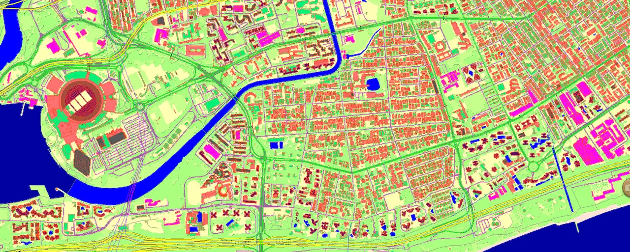
Our R&D department created a Convolutional Neural Network (CNN) model trained with available sources for further deployment of the obtained results fitted to a country's specifics. Developed AI-powered algorithms that extract high-precision map features from satellite imagery, significantly improving efficiencies in data creation.
Explore some of our 3D nationwide mapping projects here and see how AI-powered data creation helps you receive a real-world view of true 5G simulation and different tasks of a smart community, providing easy, fast and cost-effective solutions.
▪ CROATIA ▪ CZECH REPUBLIC ▪ GREECE ▪ SLOVAKIA ▪ MEXICO ▪ BAHRAIN ▪ TAIWAN and more

