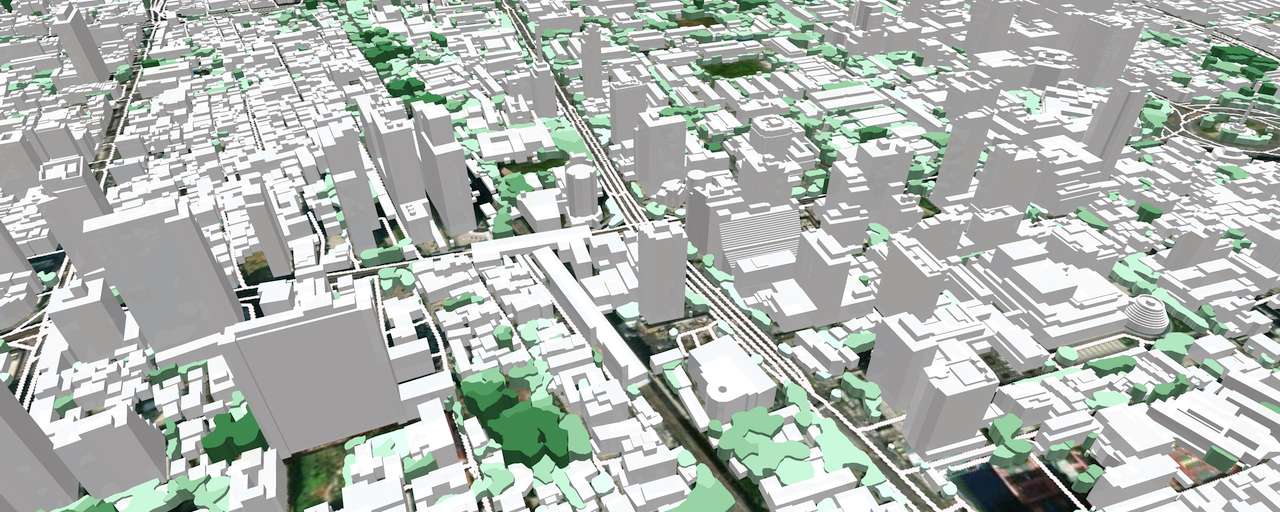
The high-precision 3D vector map for Thailand countrywide was produced with our AI-based mapping systems for multispectral high-resolution imaged processing. The 3D countrywide map provides a highly accurate digital representation of each of the 35,000,000 buildings.
Thailand 3D buildings' presentation is used for many applications like:
- City planning
- Development of urbanized areas
- Architecture projects
- Environmental management
Together with the terrain model, streets/roads network, tree canopies, and land use detailed classification, 3D digital countrywide map is also the essential source for 5G rollout within the entire country.
We're currently supporting the telecom industry providing 3D, 2D and 2.5D maps over all country for needs of RF planning and optimization, providing high level of geodata accuracy.
More detailed information as well as free data samples can be provided on your request.
Send us the request for more information
Download the free 3D data sample of Bangkok 3D city model
Explore our 3D data here

