OUR 5G PROJECTS IN EUROPE
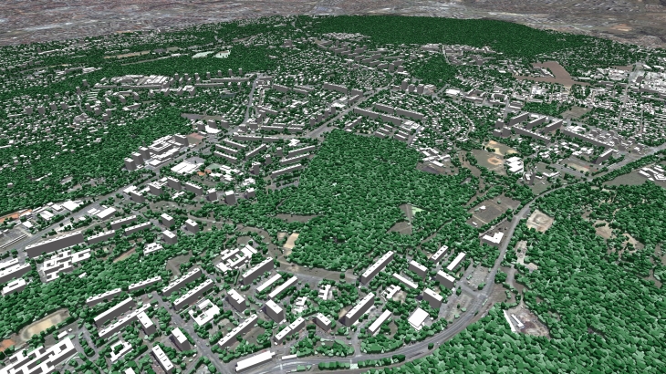
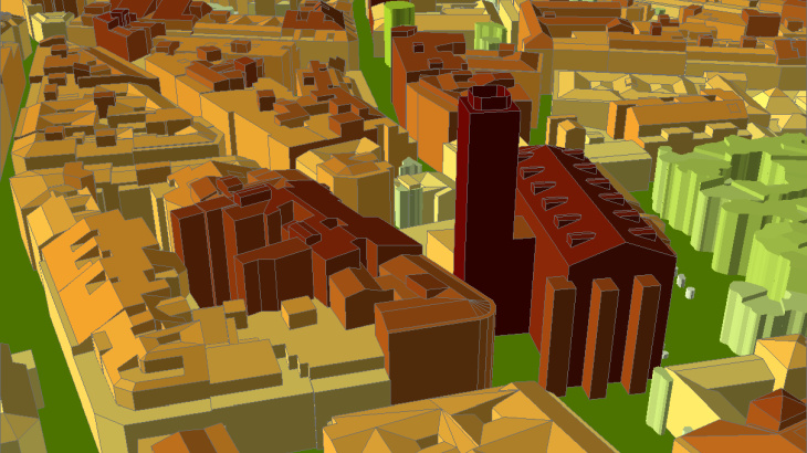
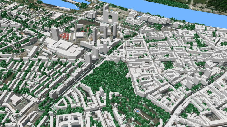
Our 3D data contain features of man-made and natural obstacles, as well as precise canopies and trees, that assure accurate 5G networks modelling.
|
3D City Models, 1m resolution: |
Area, sq.km |
Buildings quantity |
|
Italy – Milan |
– 16 km2 |
– 37 948 |
|
Hungary – Budapest |
– 25 km2 |
– 29 499 |
|
Slovakia – Bratislava |
– 9 km2 |
– 10 042 |
|
Czech Republic – Brno |
– 30 km2 |
– 48 385 |
|
Czech Republic – Prague |
– 27 km2 |
– 30 633 |
|
Sweden – Gothenburg |
– 26 km2 |
– 14 477 |
|
Ireland - Dublin – |
– 35 km2 |
– 27 271 |
|
Ireland - Castletown – |
– 115 km2 |
– 212 203 |
|
France - Marseille |
– 32 km2 |
– 66 314 |
|
Spain - Barcelona |
– 30 km2 |
– 30 500 |


The 3D model was produced for the massive MIMO mm-wave network planning and advanced 3D simulation in an urban environment.
The 2.5 - 3D models alongside the vegetation models are fully optimized for further use with millimeter wave frequencies and can be used in different specialized tools like Atoll, Asset, Planet, ICS.
Other 5G projects in Europe: Brussels(Belgium), Athens(Greece), Jorvas (Finland), Warsaw(Poland), Cologne(Germany), London(Great Britain), Cambridge (Great Britain), Cuidad Real(Spain), and many others...
In order to meet the requirements of the most demanding customers, VISICOM provides the 3D maps comprising the man-made and natural obstacles as well as precise plants information that assures accurate RF planning for 5G modelling.
📙Please download brochure "3D geodata for European 5G network deployment"
✉ Contact us to receive a free sample of the 3D city Model.


