3D Model of Kuwait Visicom is a leading company in the creation of high-quality geospatial data.
We are working on creating 3D geodata for 5G planning, 2D models, 2.5D models, Population maps, and Regional maps.
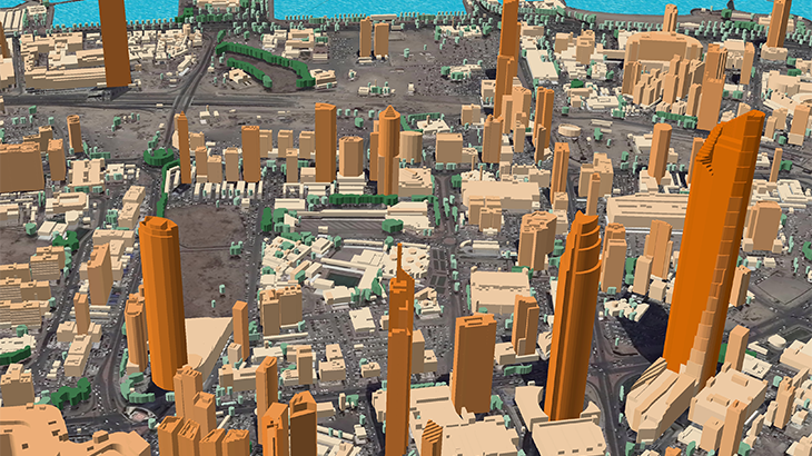
Kuwait 3D City package details:
✅ 3D city model covers core city area.
✅ 3D Geodata accuracy - 2 m in X,Y,Z.
✅ 3D Vegetation and Bridges.
Also, our company is developing [*CAD models*][1] to provide a full spectrum of services for customers from all over the world, and for all needs.
Please explore samples of Kuwait
Our geodata catalogue includes over 5000 cities across 120+ countries.

