Solar energy is used worldwide and currently, we are witnessing an increasing trend in its usage for generating electricity and heating/desalinating water.
Today, Photovoltaics (PV), also called solar cells, is one of the fastest-growing renewable energy technologies, and is ready to play a major role in the future global electricity generation mix.
Solar PV installations can be combined to provide electricity on a commercial scale, or arranged in smaller configurations for mini-grids or personal use. Using solar PV to power mini-grids is an excellent way to bring electricity access to people who do not live near power transmission lines, particularly in developing countries with excellent solar energy resources.
Solar roof PV potential modelling
Solar resource assessments are a core method for developing and deploying solar energy plants. In turn, 3D buildings and 3D vegetation are key initial sources for evaluating solar resource availability and running the solar energy simulations.
High-accuracy 3D datasets provide high solar project value and increase its performance. Precise and up-to-date geodata ensures the relevant information to make a better decision. Data details, accuracy, and relevance are critical parameters for solar resource assessment and modelling.
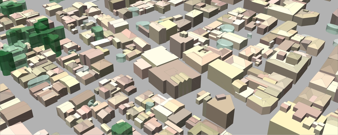
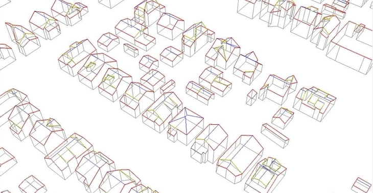
LOD3 3D buildings manufactured by Visicom for solar energy projects involve such small elements as roof furniture, elevators shafts, towers, spires, and also sloping roof elements.
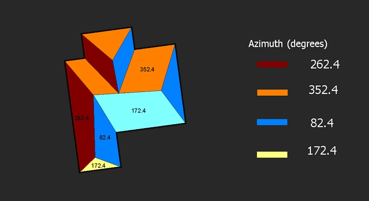
The assigned parameters:
▪ azimuth ▪ tilt angle ▪ area of flat parts ▪ roof height
are calculated for each element separately, creating the background for producing solar rooftop maps (solar cadaster). The high accuracy of the building elements' footprints is tailored specifically to the estimation and calculation of the solar energy potential for each roof.
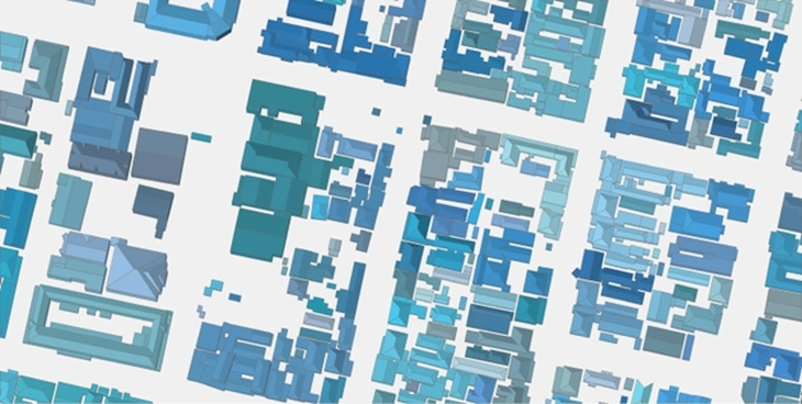
Sample of data for roof surfaces
Preview of final buildings data
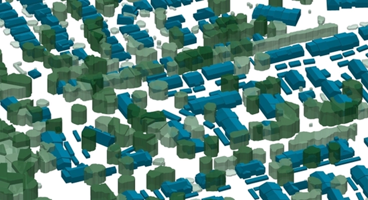
To create a 3D data set for large areas where solar stations are planned to be installed, LIDAR data are used among other sources. It is possible to achieve completeness and precision of ≥85% if the density of LIDAR points is more than 8 per one sq.m, and ≥90% if the density of LIDAR points is more than 15 per one sq.m. Due to the precise setting of the threshold coefficients used in the recognition of obstacles, our LIDAR processing algorithm allows us to recognize buildings and the main elements of roofs, allocate tree crowns, and restore the structure of buildings closed by crowns. After recognition and vectorization, the necessary attributes of roofs, heights, area, and slope of the roof elements are assigned to the buildings and trees.
Automation of the process of buildings recognition allows us to quickly produce high-quality 3D data sets for large territories in urban and suburban areas.
3D buildings set based on lidar data processing
A complete set of 3D data may include: DTM, DSM, building footprints and vegetation crowns as 3D .shp multipatch dataset.

