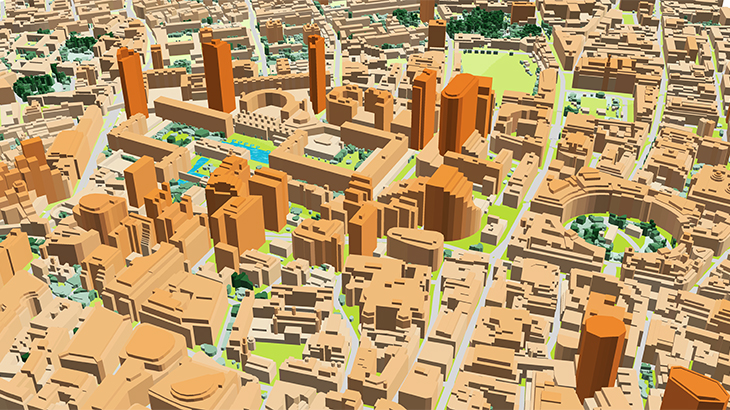
Having 20 years of experience in cooperation with Telcos and mobile operators worldwide, Visicom extends the variety of geospatial data enabling 5G planning phase both in the urban and rural environment.
The 2.5 - 3D models alongside the vegetation models are fully optimized for further use with millimetre wave frequencies and can be used in different specialized tools like Atoll, Asset, Planet, ICS.
Belgium - Brussels
Greece - Athens
Finland - Jorvas
Poland - Warsaw
Spain - Barcelona
Ireland - Dublin
Great Britain - London
Romania - Bucharest + 7 major cities
Berlin – 1062 Area, km2
Cologne – 625 Area, km2
Frankfurt – 248 Area, km2
Hamburg – 770 Area, km2
Jena – 119 Area, km2
Leipzig – 370 Area, km2
München – 651 Area, km2
More cities will be available soon.
**✉ Contact us to receive a free sample of the 3D city Model.** [4]: https://visicomdata.com/geodata-portfolio?lang=en


