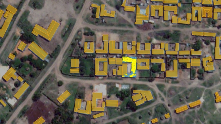
Detailed maps are essential and mandatory background for spatial analysis and management of natural resources. Precise and up-to-date geodata ensures the relevant information to make a better decision.
Solar energy is used worldwide and is increasing popularity for generating electricity or heating and desalinating water. It’s an excellent way to provide electricity to people who live far from power lines, especially in developing countries with outstanding solar resources.
Supporting of environmental managing market, we are happy to cooperate with one of the most famous companies - International Renewable Energy Agency (IRENA), that develops, implements, and propagate renewable energy technologies to support urban planning in developing countries.
IRENA is an intergovernmental organization that supports countries in their transition to a sustainable energy future and serves as a nexus for international cooperation and a repository of technology and resource on renewable energy. Within the project of autonomous power supply for remote areas, IRENA has developed a web-application SolarCItyEngine built to assist homes, businesses, and municipal authorities in evaluating the prospects for electricity generation using rooftop-mounted solar batteries. SolarCityEngine combines ultra-high-resolution three-dimensional building footprint and solar irradiation models, computed at 50 centimetres (cm) grid cells.
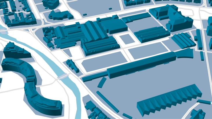
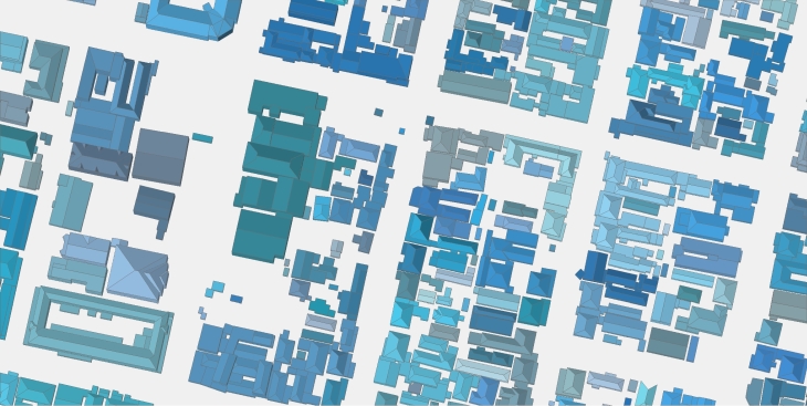
LOD3 3D buildings manufactured by Visicom for that project, including such small elements as roof furniture, elevators shafts, towers, spires, as well as taking into account the sloping roof elements. The assigned parameters of azimuth, tilt angle, area of flat parts, and roof height are calculated for each element separately, creating the background for producing solar rooftop maps (solar cadaster). The high accuracy of the building elements' footprints is tailored specifically to the estimation and calculation of the solar energy potential for each roof.
LOD3 data include also 3D tree models with separate canopies heights, since vegetation could have the essential effect for the calculation of the solar potential.
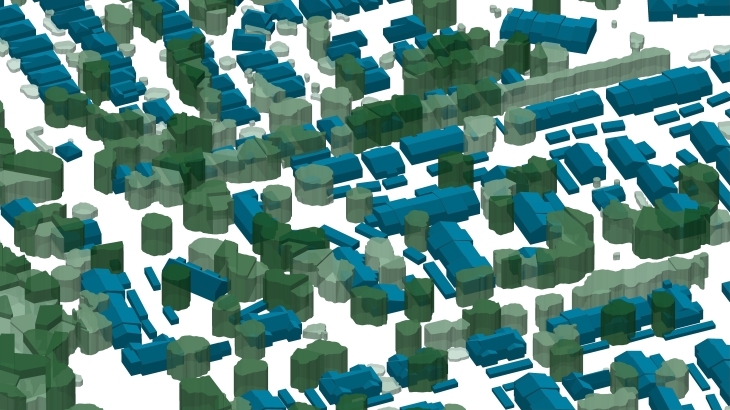
Visicom geospatial data provides a high level of details in urban areas that allow to recognize, visualize and analyze the changes in the natural and man-made environment. LOD3 3D data for various tasks of environmental management are produced and developed in multiple GIS formats like ArcGIS, ERDAS Imagine/ER Mapper, MapInfo, and AutoCAD Map.

