The key role of addressing systems in everyday life
Addressing systems play a crucial role in our daily lives, ensuring the precise location of objects for various needs, from mail delivery to providing emergency assistance. From the diverse needs of a company providing delivery or waste collection services to the requirements of an insurance or telecommunications firm, modern addressing systems must consider a wide range of factors, from the location of a building to its physical characteristics and how electronic signals propagate through its walls.
Addresses are the foundation for most Geographic Information Systems (GIS). They help us navigate space, ensure efficient logistics, support urban infrastructure management, and contribute to developing "smart cities." Without a reliable addressing system, economic and social processes face serious complications.
If we look at traditional addressing systems, we can see that they often encounter number of issues.
For example:
- The diversity of addressing approaches in different countries and regions
- Frequent changes in address data due to the construction of new objects, changes in administrative boundaries, etc.
- Incomplete or conflicting data that complicates accurate location determination
- Lack of standardized systems in some regions.
These issues complicate not only navigation but also the processing, storage, and use of address information across various industries. Incorrect and incomplete addressing systems create critical problems for many sectors, highlighting the urgent need for reliable and secure solutions.
Newest technologies in geocoding
Technological innovations now offer new ways to solve longstanding problems, such as geocoding. Geocoding is the process of converting known addresses into coordinates that can be used for mapping and analysis.
Modern geocoding technologies transform textual addresses into geographic coordinates, which can be utilized for mapping, analysis, and integration into various information systems. Consumer mapping platforms have made significant progress in making location data more accessible, providing detailed maps, navigation assistance, and location-based services.
Geocoding allows companies to integrate location information and address conversion, serving a wide range of industries and providing several benefits:
- - Accuracy: Coordinates provide precise locations, reducing the risk of errors.
- - Universality: Geographic coordinates are universal and can be used on a global scale.
- - Integration: Geocoded data can easily be integrated into various GIS and other spatial data systems.
Despite technological advances in location and mapping tools, both traditional addressing and modern geocoding solutions fall short when it comes to the nuances of addressing. Addresses inherently possess human complexity. Their processing requires a shift towards a more targeted and nuanced approach that can accurately represent physical spaces in all their complexity.
Multidirectional addressing systems
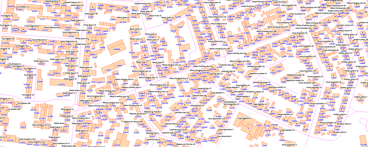
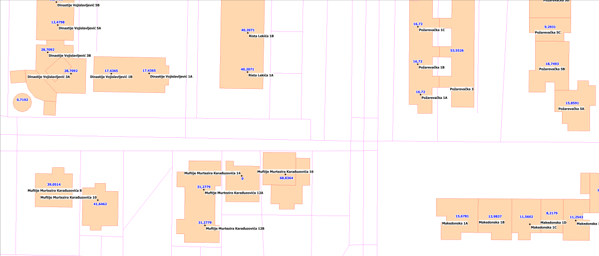
An addressing system can be very complex and encompass many attributes. For example:
- Unique building identifier
- Two-letter country code
- Name of the region/province or another administrative division
- Name of the locality
- Street type
- Street name
- Postal code
- Building Number
Practical side of using geocoding
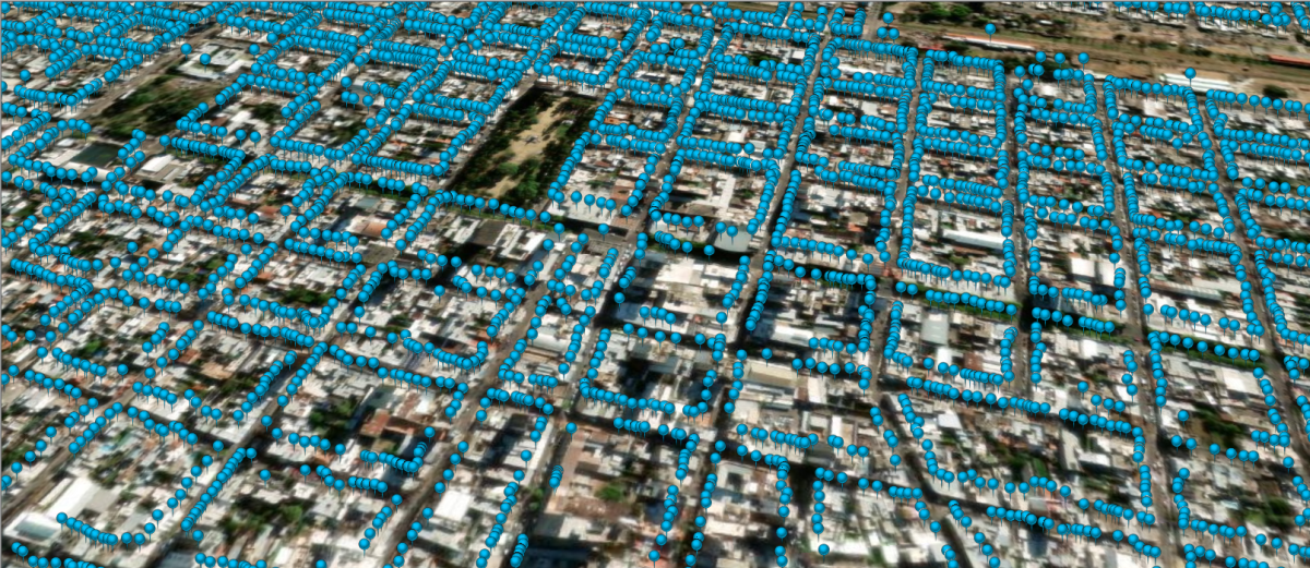
As a practical example, we can look at the addressing system in Argentina. The street-road network system in Argentina is represented as a chain-node network with the following attributes:
- Unique segment code
- Street name
- Address range on the even side
- Address range on the odd side
- Postal code on the even side
- Postal code on the odd side
- Community affiliation
In this project, we geocoded approximately 2.5 million address points in Buenos Aires and created a database with all these attributes. This database significantly improved urban infrastructure management, planning, and the provision of various services. Overall, the Argentine project geocoded about 1 million road network segments.
Do we use artificial intelligence in our work? Absolutely. Modern addressing and geocoding systems actively employ artificial intelligence (AI) technologies to enhance accuracy and efficiency. AI can automatically detect and correct errors in address data, predict changes, and improve the overall quality of databases. Additionally, neural networks can analyze large volumes of data to identify patterns and anomalies, significantly increasing the reliability of address information.
Extensive experience in collecting and processing geocoded addresses and their attributes
Visicom© implements numerous projects that involve collecting and processing geocoded addresses, corresponding building attributes, postal address polygons, road networks with street names, and more. We have ready addresses databases for 30 countries worldwide, maintaining a high level of professionalism in this field by integrating local cadasters and ensuring accurate geocoding.
Summarizing
We can confidently say that addressing and geocoding systems are critically important for modern society. They provide accurate navigation, efficient data management, and support various sectors of the economy. Advanced technologies such as AI and neural networks open up new possibilities for improving the quality and reliability of address information, making our world more connected and comprehensible.

