Public and private sector clients are facing increasing pressure to deliver infrastructure that is not only functional but also environmentally sustainable. In this context, geospatial technologies are becoming indispensable tools—enabling more precise site analysis, reducing the need for on-site visits, and supporting the design of infrastructure that integrates with the environment rather than disrupting it.
High-accuracy geospatial data is fundamental to sustainability—it ensures that planning, monitoring, and decision-making are based on reliable, real-world conditions.
Today, these tools play a critical role in the transition to green infrastructure and climate adaptation.
Accurate mapping of urban areas, terrain, and transportation networks enables efficient planning and maintenance of infrastructure. Thanks to satellite image processing technologies, we can also monitor changes in natural ecosystems — for example, in forests, which store over 861 gigatons of carbon worldwide
As a result, geospatial data serves a dual purpose: supporting both the modernization of human infrastructure and the protection of natural systems—forming the foundation of smart, climate-conscious planning.
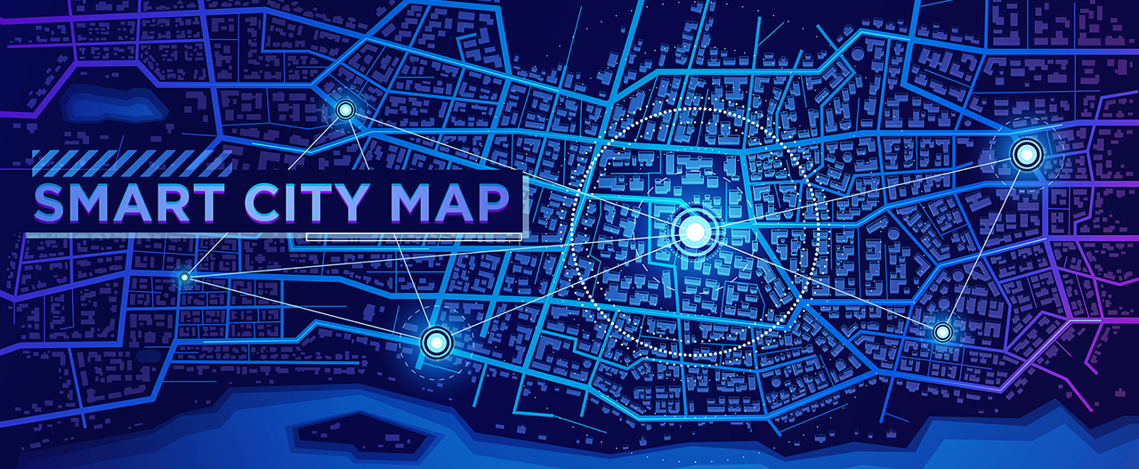
Sustainable infrastructure: Why it matters
With growing urban populations and aging infrastructure, cities face increasing pressure to upgrade roads, bridges, public transport, and utilities. Each of these projects presents an opportunity to build smarter and greener infrastructure. For example, modernizing outdated systems with energy-efficient solutions or redesigning urban spaces to prioritize pedestrian and bicycle traffic can significantly reduce environmental impact.
This is where geospatial technologies become a key tool.
Two ways Geospatial Technologies support sustainable infrastructure development
1. Digitizing workflows to reduce environmental footprint
Transitioning from traditional paper-based processes to digital systems is the first step toward a more environmentally friendly approach to infrastructure. Small changes in daily operations may seem minor, but across thousands of projects worldwide, they lead to a significant reduction in CO₂ emissions and resource consumption.
2. Building and Maintaining Green Infrastructure
Beyond digitization, geospatial technologies enable the design of infrastructure focused on sustainability:
- Railways and public transport: Mobile mapping systems are critical for assessing the condition, upgrading, and maintaining rail corridors.
- Pedestrian and bicycle infrastructure: Redesigning roadways into multifunctional zones requires accurate geodata to plan safe travel lanes.
- Urban greening and heat zone management: Mapping tools help municipalities design green streets, reduce heat island effects, improve air quality, and enhance overall urban livability.
Interesting to know:
Urban areas can be up to 7°C (13°F) warmer than their rural surroundings due to the urban heat island effect. Increasing tree cover by just 10% can lower neighborhood temperatures by 1–2°C, reduce energy costs, and improve public health. Geospatial data plays a vital role in locating areas most in need of greening and monitoring the effectiveness of these interventions over time.
What’s next: cities of the future
As climate risks intensify — rising sea levels, extreme heat, and water scarcity — cities must become more adaptive and resilient. Geoanalytics enables forecasting needs and planning based on population density, resource availability, and environmental impact.
Technologies such as Digital Twins, AI-powered geodata processing, and satellite monitoring are unlocking new opportunities for sustainable decision-making.
Geospatial technologies are no longer just about maps. They are tools for building smart, green cities, empowering communities to respond effectively to today’s challenges.
The transition to sustainable infrastructure is not just possible – it is already happening, driven by the intelligent use of spatial data. The next step is to scale these solutions.
VISICOM offers a comprehensive set of geospatial data designed to meet a wide range of smart city planning and detailed urban mapping needs. Whatever the requirements of your project, we’re ready to support you with HIGH-PRECISION GEOSPATIAL DATA.
Contact us at [email protected] to learn how our solutions and mapping products can help you make informed decisions and give you a competitive edge in planning and development.

