We have established long-standing relationships with mobile operators and are well-versed in their evolving requirements amidst the development of the telecommunications industry. With the emergence of 5G technology, utilizing high-frequency radio waves, and the increasing use of mobile devices, radio frequency planners require much more precise information about the locations of their customers.
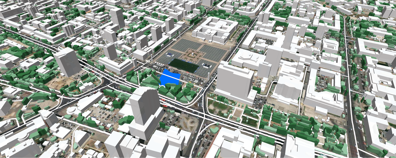
Currently, 3D mapping technology plays a pivotal role in creating digital twins in telecommunications. The using of high-precision 3D models of cities, where the operator deploys network infrastructure, significantly enhances the efficiency of planning 5G networks. We offer digital maps containing detailed 3D layers of Buildings and 3D Trees with parameters of high accuracy necessary for millimeter-wave spectrum.
Our 3D models leverage the latest satellite imagery to generate detailed, reliable, and accurate maps of the real world. The technology incorporates machine learning to identify building contours and their heights, vegetation, land use, and topography. All cartographic data is converted into any RF-tool format, creating a digital twin for convenient use.
One of our recent projects involves creating digital models of Mongolia for 5G planning for one of the leading local operators. The project covers six cities in the country: Darkhan, Erdenet, Ulaanbaatar, Choibalsan, Ulgii, and Ot.
What we have achieved:
- Created 3D models for six Mongolian cities of 1m resolution. Coverage area - 190 km².
- Developed 2.5D models for the suburbs of selected cities of 5 m resolution. Coverage area - 1696 km².
- Established a 2.5D models of 5 m resolution for 174 km² of mining areas.
A particularly crucial part of the project was creating a detailed Population Map for each city. Separate maps for Day and Night population density were generated. The Day Population Map takes into account people's movements throughout an average working day, making it a vital element for wireless network planning.
Population density maps, created with a resolution of 1 meter for 3D city models and 5 meters for 2.5D city models, were based on the latest satellite images and the 2020 population census, supplemented with advanced algorithms for accurate population density forecasting.
Test data for Ulaanbaatar is available for free on our website. Tests for any other city can be provided upon request.

