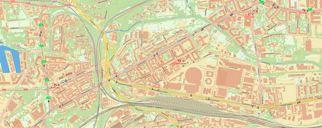
We continues expanding its European geodata coverage available through Visicom Online Maps.
Online access allows customers to evaluate the actual data quality, level of detail, and structure before starting discussions about custom mapping products. Your team can explore available layers and better understand which data is most relevant for your current business needs.
The available datasets include:
- addresses,
- buildings,
- road networks,
- vegetation,
- hydrography,
- administrative boundaries,
- infrastructure layers,
- and other GIS data.
Local-language attributes are available for many datasets, which is especially important for regional projects and international teams working with local data.
One of the key advantages is the ability to check the level of detail, coverage, and structure of the layers and choose only the datasets needed for a specific task or use case.
The data can be provided in different formats and combinations depending on the scope of work — from individual layers to complex multilayer packages.
VISICOM geodata can be used for:
- telecom,
- GIS platforms,
- logistics,
- urban planning,
- navigation,
- infrastructure development,
- environmental analysis,
- and other geospatial tasks.
Some customers require only selected layers rather than full country coverage, such as, addresses, vegetation, transport infrastructure, or building layers. VISICOM supports flexible delivery for different workflows and operational needs.
European geodata is already available in VISICOM Online Maps, allowing you to explore and compare the data, request samples, and order datasets tailored to your projects.
Feel free to contact us [email protected]