Hydrography is undergoing a major shift. Today, the main challenge lies not in collecting data, but in processing large volumes quickly and accurately, validating them, and turning them into actionable insights.
Traditional approaches can no longer keep up with this scale. That’s why geospatial AI is becoming essential. It helps automate routine tasks, improve data quality, and significantly reduce the time required to prepare and deliver data.
When combined with GIS, AI is redefining the role of hydrography. It is no longer just about producing maps — it is becoming a system that supports decision-making. Machine learning can automatically detect features, identify errors, and ensure consistency across large areas.
This opens up new possibilities for:
- coastal risk management
- infrastructure planning
- environmental monitoring
- emergency response
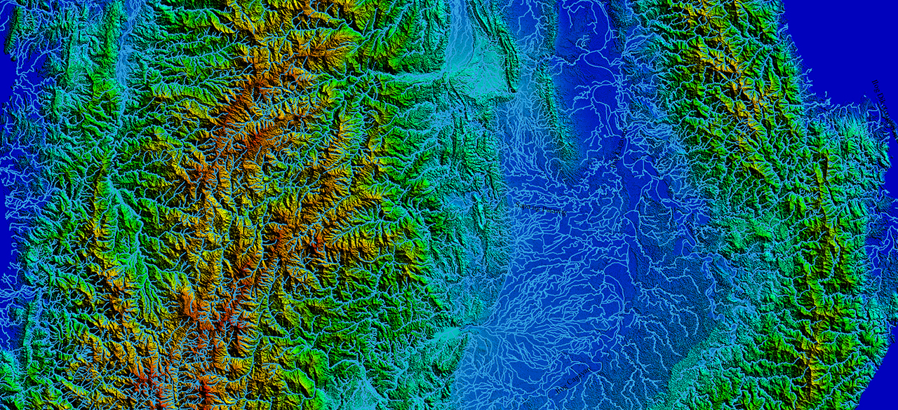
Modern hydrography data is part of a unified geospatial system rather than a set of isolated layers. It is integrated with satellite imagery, elevation models, and other data sources, undergoes automated quality checks, and creates a consistent, connected view of the landscape.
A key factor here is data connectivity. Rivers, drainage networks, and coastal zones should not just appear on a map — they need to be correctly connected to each other. This is what makes it possible to use them in more complex scenarios, from flood modeling to infrastructure planning.
As a result, hydrography evolves from a data source into a true decision-support tool, enabling faster, more accurate, and scalable decisions.
VISICOM works with hydrography data worldwide — from Europe to Southeast Asia. This ensures a consistent approach to data processing, classification, and quality, regardless of where the data comes from.
This approach is especially important in Southeast Asia, where each country has its own geographic and structural specifics:
- The Philippines — an archipelago of thousands of islands with a complex coastline and high exposure to floods and typhoons
- Indonesia — one of the largest island regions in the world, with an extremely dense hydrography network
- Thailand — extensive river systems and seasonal flooding that impact infrastructure and logistics
- Vietnam — a country with a long coastline and one of the most complex river networks in the world
Our algorithms for building hydrographic networks allow us not only to account for these differences, but also to ensure data compatibility across projects — without manual stitching or loss of quality.
Hydrography extends beyond map production. It is becoming part of complex digital systems, where data is continuously updated, validated, and used for analysis.
In this ecosystem, AI and GIS are not just tools — they form the foundation of a new way of working with geodata: faster, more accurate, and more scalable.
And it is this shift — from data to decisions — that will define how geospatial systems evolve in the years ahead.
If you are planning a project in Southeast Asia — whether in telecom, infrastructure, GIS, or risk analysis — contact us at [email protected]" to see how we can support you.

