Key Benefits
As 5G technology redefines global connectivity, mobile operators face the challenge of deploying networks that deliver ultra-fast speeds, low latency, and robust coverage. To achieve this, high-accuracy 3D maps have become indispensable – mainly when used in advanced planning platforms like Atoll.
Why 3D Maps Matter for 5G
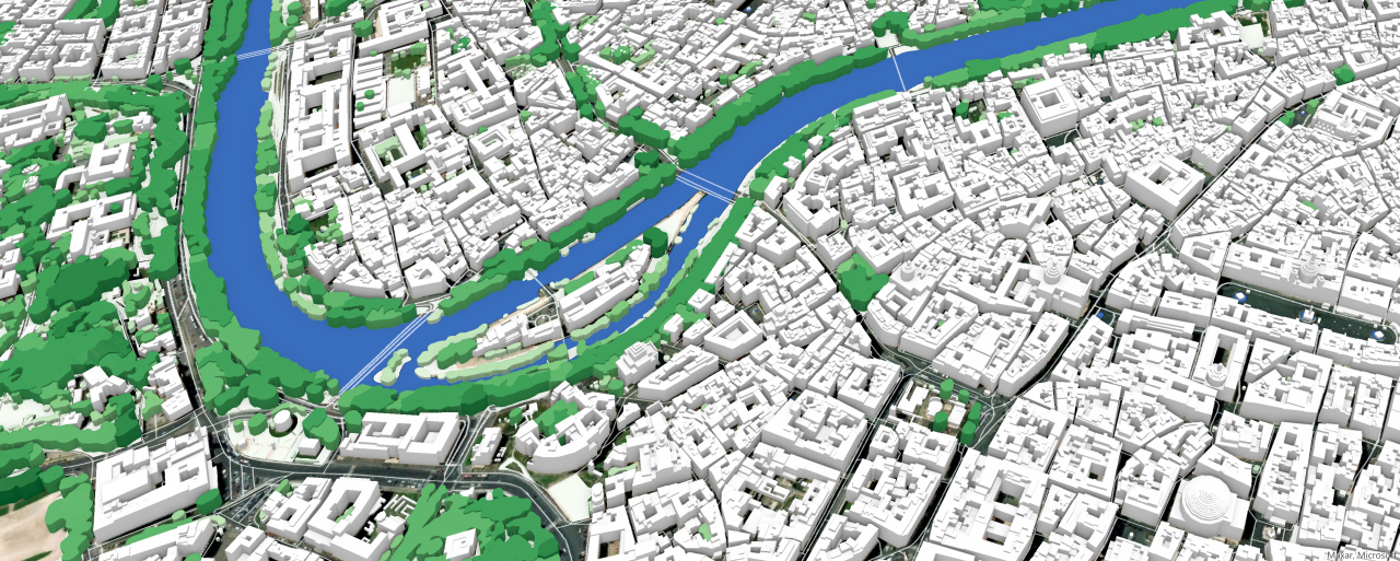
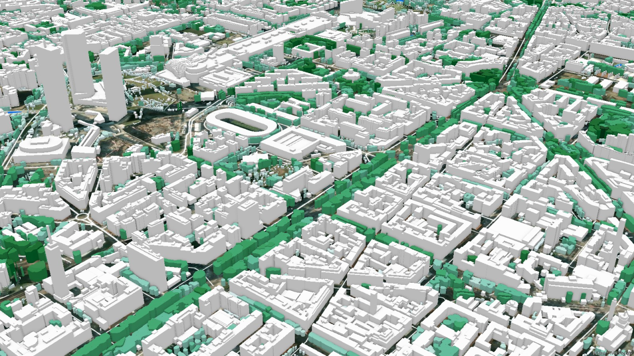
Unlike traditional 2D maps, 3D maps provide a realistic representation of the built and natural environment. They enable precise placement of towers and antennas, considering terrain variations, building heights, and obstructions – factors that critically impact signal propagation and network performance.
Core Advantages of High-Accuracy 3D Maps
- Precision in Urban and Rural Modeling: 3D maps accurately capture fine details such as elevation changes and rooftop structures. This precision helps avoid planning errors, especially in dense urban areas.
- Improved Signal Simulation: Accurate modeling of line-of-sight (LoS) and signal behavior – especially for high-frequency mmWave bands – is only possible with 3D data that reflects real-world obstacles.
- Optimized Small Cell Deployment: In complex cityscapes, 3D maps assist in identifying ideal locations for small cells, helping to reduce interference and enhance capacity.
- Support for Advanced Technologies: Tools like Atoll use 3D maps to simulate beamforming and massive MIMO antenna arrays. Correct beam angle calculations rely heavily on 3D environmental context.
- Terrain-Based Planning: In rural or mountainous regions, elevation data is essential for evaluating path loss and ensuring effective signal coverage.
Resolution Requirements for 5G
For accurate 5G planning in Atoll, it is recommended to use 3D maps with:
• Matrix resolution: 1-2 meters
• Building, vegetation and terrain height accuracy within 2-3 meters
2D Maps Still Have a Role
Though not suitable for detailed deployment, 2D maps with 5–10 meter resolution remain useful in early-stage analysis and broad-area assessments, offering quick and cost-effective overviews.
Meeting Real-world Urban Challenges
Up to 80% of mobile traffic originates indoors, which means mobile subscribers are not necessarily located at ground level, rendering traditional two-dimensional planning ineffective. 3D maps provide the only effective way to model vertical environments, including building floors, “urban canyons,” signal reflections, and even moving vehicles – capabilities that 2D maps lack.
So, high-accuracy 3D maps are no longer optional – they are a fundamental requirement for successful 5G rollout. When integrated into platforms like Atoll, they enable smarter, more efficient planning that maximizes performance, minimizes interference, and ensures reliable coverage even in the most complex environments.

