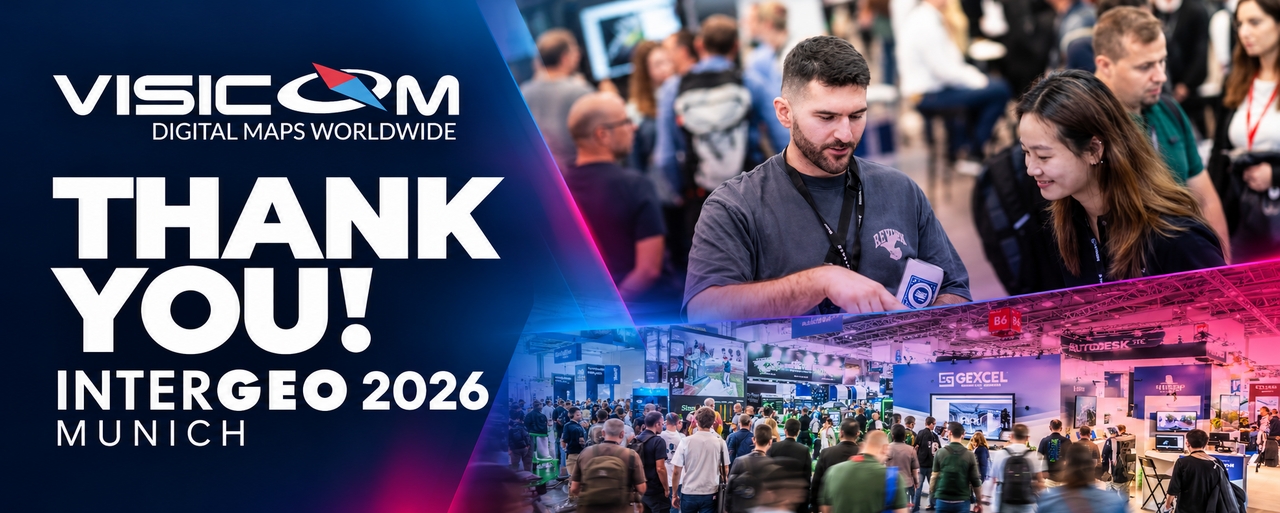
So, how was INTERGEO 2026 for us?
AI was everywhere. So were Digital Twins, Reality Capturing, Earth Observation, BIM and automation. And, of course, there were plenty of demonstrations and conversations.
But looking back at the exhibition as a whole, one thing really stood out.
The conversation is moving beyond geodata itself.
What do we mean by that? The question is no longer only how quickly or accurately we can capture the real world. What happens to the data next is becoming just as important: how it is processed, combined with other information, updated and, most importantly, used.
Reality Capturing was one of the major topics at INTERGEO this year. In fact, collecting data about the real world is only the beginning. The technologies on display showed how quickly the physical world can now be turned into point clouds, 3D models and other digital representations. INTERGEO even had a dedicated Reality Capturing Experience Park with live demonstrations of these processes.
So, we have collected the data. The next question is: what do we do with it?
Measurements need to become structured information that can actually be used. They need to become part of datasets, models and workflows designed to solve specific tasks.
In other words, the value is not only in capturing the real world, but in making the data useful.
Digital Twins were another major topic in Munich.
What was interesting was the shift from simply creating an impressive 3D model to actually using it.
When spatial information is combined with sensor data, Reality Capture, AI and other sources, a Digital Twin can be used for monitoring, detecting changes, managing assets and infrastructure, planning, and operational decision-making. This practical use of Digital Twins was one of the topics discussed at INTERGEO 2026.
So, we think the main question is no longer: “How realistic does the model look?”
but: “What can we actually do with it?”
And, of course, there was AI.
GeoAI was one of the key topics at INTERGEO 2026, from remote sensing and infrastructure to monitoring and decision-making.
It may seem that as AI becomes more capable, the data it works with becomes less important.
We see it differently. AI can help detect objects, identify changes, analyse large amounts of information and find patterns much faster. But the result still depends on the quality of the input data.
Geometry, classification and object attributes matter. So do data currency and consistency.
From data to decisions
Perhaps this was our main takeaway from Munich.
For many years, much of the geospatial industry has focused on how to collect more data, faster and in greater detail. At INTERGEO this year, the next step was much more visible: how to turn all this data into something that can actually be used.
Reality Capture, Digital Twins and AI approach this from different directions, but they all depend on the quality of the geospatial information behind them.
And perhaps this is the main thought we brought home from INTERGEO 2026: new technologies are quickly changing what we can do with geodata, but the quality of the geodata itself remains one of the most important parts of the equation.

