Radio frequency (RF) maps of Saudi Arabia cities for cellular networks planning.
🔔We continue our virtual 3D trip to the wonderful and mysterious Middle East, presenting our telecom projects for Saudi Arabia. More than 600 sq. km of 3D data for 4G and 5G networks planning are available now.
CITY MODELS:
- ✅ 3D RF map of Jeddah – 200+ sq.km
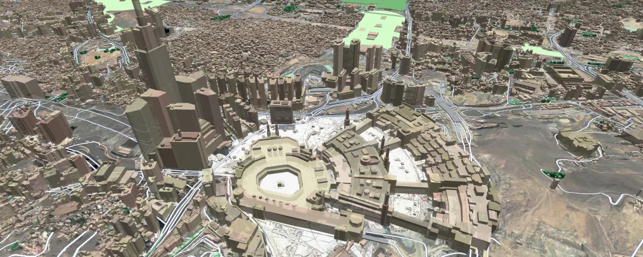
- ✅ 3D RF map of Makkah – 200+ sq.km
- ✅ 3D RF map of Riyadh – 100+ sq.km
- ✅ 3D RF map of Al-Khobar – 60+ sq.km
- ✅ 3D RF map of Abha – 10+ sq.km
More cities will be available soon.
Visicom ® produces high-level geodata for 5G planning because we have 20 years of experience to cooperate with telcos and operators worldwide. That is why you can be sure of the quality of our products.
We have 3D buildings and vegetation models for 5G network planning which are fully optimized for use with Millimetre Wave (mmWave) frequencies and can be used in different tools like Atoll, Asset, Planet, ICS, etc.
⚠ You may also be interested in: 3D DATA FOR MIDDLE EAST

