Today, governments around the world are rapidly digitalizing public services — from e-government platforms to smart city systems. Citizens increasingly expect seamless digital interactions, whether they are registering a business, accessing healthcare, or navigating public services.
One of the most notable examples is Diia, Ukraine’s digital government platform, widely recognized as one of the most advanced and comprehensive mobile-first public service ecosystems. It shows how digital services can become an integral part of everyday life.
However, behind every digital service lies a critical but often overlooked foundation: geospatial data.
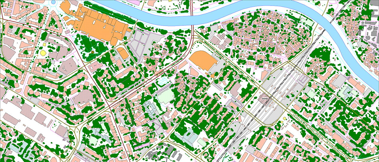
Geospatial data underpins many digital services, from address systems and administrative boundaries to transport networks and infrastructure. Without a consistent spatial framework, even the most advanced platforms struggle to function reliably.
What happens when this foundation contains errors?
What if emergency services are sent to the wrong location?
What if an infrastructure project is planned based on outdated or inconsistent data?
What if a citizen cannot access a service because their address is recorded differently across systems?
One of the key challenges many countries face today is fragmentation. Geospatial data is often spread across multiple institutions, formats, and standards. As a result, inconsistencies arise — addresses may not match, boundaries may differ, and datasets may not integrate smoothly.
A unified national geospatial data provider is essential. Without a single source of truth, fragmentation, duplication, and errors across systems are unavoidable.
At the same time, many digital services rely on a mix of publicly available datasets and internally maintained data sources. While this approach allows for rapid deployment and flexibility, it often lacks consistency, standardization, and long-term data governance.
This fragmentation has a direct impact on how digital services perform. It creates integration challenges, slows down implementation, and increases operational costs. In some cases, it can even affect critical areas such as emergency response, logistics, or infrastructure planning.
As digital transformation accelerates, geospatial data is no longer just a supporting dataset — it is becoming part of national infrastructure. Like roads, energy systems, or telecommunications networks, it requires coordination, standardization, continuous maintenance and updates.
This means that countries need to establish a unified and reliable geospatial foundation at the national level. Consistency, accuracy, and interoperability are no longer optional — they are essential.
Governments that invest in building a unified and trusted geospatial foundation will be able to deliver more reliable, scalable, and efficient digital services. Those who succeed in doing so will not only improve digital services — they will strengthen the foundation of their entire digital ecosystem.
With experience in developing national-scale geospatial data and supporting complex digital initiatives, VISICOM understands the challenges behind building such systems and is ready to contribute to this transformation.
European geodata is already available in VISICOM Online Maps, allowing you to explore and compare the data, request samples, and order datasets tailored to your projects.

