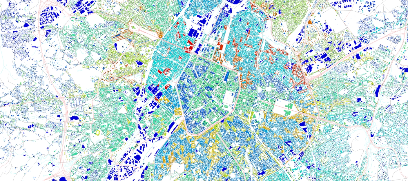
We are glad to represent our projects completed within recent 3 months for our telecom clients as well as for other vertical markets like smart cities, solar energy assessments and environmental management.
There are 2D maps for 7 countries, 3D maps for 114 cities, 3D countrywide database and LOD 2.1 buildings with pitched roofs for need of solar energy development.
Due to usage of deep convolutional neural networks (CNN) and algorithms of automatically learning through training models, we achieved high level of accuracy compatible to manual source data processing. Usage of AI-algorithms allows accomplishing rapid extraction of cartographic features; at the same time, it can be applied at very large areas. The CNN support extraction of accurate special information about buildings, vegetation and water objects within cities, urban areas and even for a whole country what is very important as for 5G networks planning as for any environmental monitoring projects.
More information about our recent project can be found here (Pressreleaseq3_2022.pdf).
Please contact us for free samples and more information about 2D/2.5D/3D geodata, or Download the free 2D/2,5D/3D data samples ourselves from our web-site.
In these hard for our country times, the customers believe in us and our capacity to accomplish the projects with traditional high level of quality. We are very thankful to all our friends and partners for their support and confidence in our reliability.


