News & Events
Partial country map of Saudi Arabia
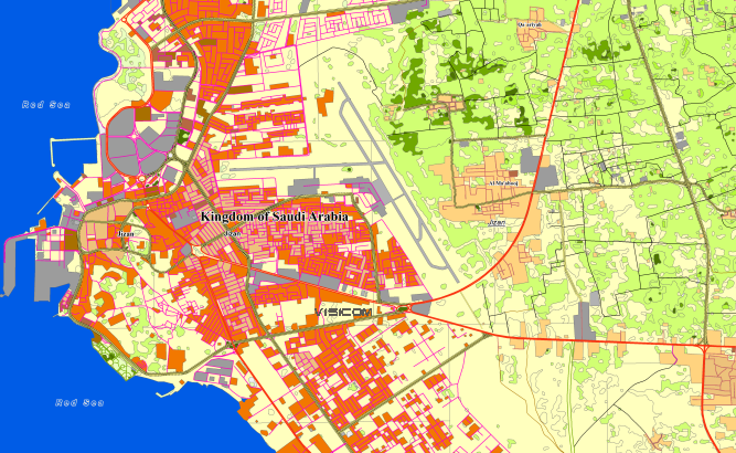
and **[data for GIS project and WEB project][3]:** [Map][4] of Saudi Arabi – 563830 sq.km
Project package includes 3 types of data representation: 1. Vector data model provided as a composition of vector layers in ESRI ArcGIS, Mapinfo or any other GIS formats. 2. Raster data model presented in Geo-tif format and includes: • [Digital Elevation Model (DEM)][5] (data placed in Height.tif file); • Land Use Map (Clutter Model) 3. Service Data for RF planning tools: • [Digital Terrain Model (DTM][6]); • Land Use Map (Clutter Model) in matrix representation; • Text labels; • Vector layers. [1]: https://visicomdata.com/products/data_for_wireless_planning?lang=en"See more about map for RF planning" [2]: https://visicomdata.com/products/data_for_wireless_planning/regional_models?lang=en"See more about regional model for RF planning" [3]: https://visicomdata.com/products/geospatial_data?lang=en"See more about vector map" [4]: https://visicomdata.com/products/geospatial_data?lang=en"See more about vector map" [5]: https://visicomdata.com/products/elevation_products?lang=en"See more about type of elevation models" [6]: https://visicomdata.com/products/elevation_products?lang=en"See more about type of elevation models"


Order product
Please, contact us directly if you have question
We always reply within 24 hours
Contact us
Please, contact us directly if you need any information