News & Events

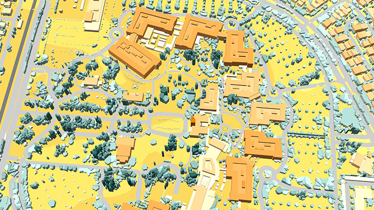
Santa Clara Pilot Geodata for 5G network Planning

PILOT GEODATA ------------- Explore the opportunity to improve your planning process with sophisticated 3D Geodata made specifically for 5G network designing. **3D Model of Santa Clara is a pilot project for 5G implementation** and test drive. We used the last available high-resolution satellite images and Lidar data to meet the advanced requirements of new-generation networks. 1m resolution 3D Model provides: - 3D BUILDINGS with a high level of roof details - 3D BRIDGES with detailed engineering constructions - 3D TREES (VEGETATION) MODEL made specifically for 5G network Visicom’s 3D data meet the features of 5G signal sensitivity and provide absolutely critical accuracy required for modeling precise 5G network propagation characteristics. Download the **free 3D sample of Santa Clara model** and [**booklet regarding project "RF geodata for Santa Clara"**][1]. [**Explore more**][3] **Please contact us for additional information** [1]: https://visicomdata.com/raw?id=11765&lang=en"booklet about the project "RF geodata for Santa Clara" [3]: https://visicomdata.com/products/geodata_for_5g_planning?lang=en "**Explore more" Back to all news

Order product

Please, contact us directly if you have question

We always reply within 24 hours

By using this contact form, you consent with our Privacy Policy