Explore the opportunity to improve your planning process with sophisticated 3D Geodata made specifically for 5G network designing. 3D Model of Singapore is a project for 5G implementation and test drive.
We used the last available high-resolution satellite images to meet the advanced requirements of new-generation networks.
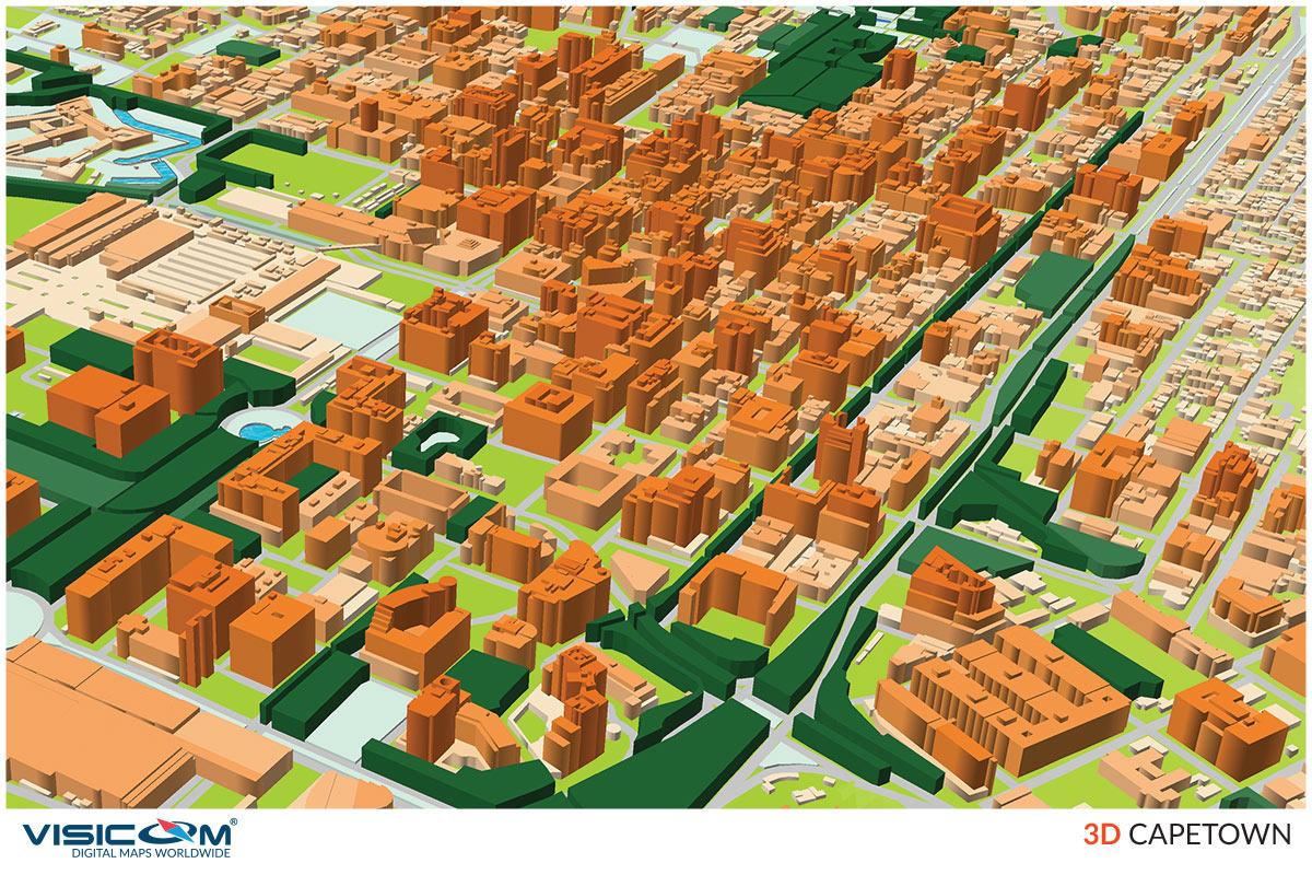
1m resolution 3D Model provides:
- - 3D BUILDINGS with a high level of roof details
- - 3D BRIDGES with detailed engineering constructions
- - 3D TREES (VEGETATION) MODEL made specifically for 5G network Visicom’s 3D data meet the features of 5G signal sensitivity and provide absolutely critical accuracy required for modelling precise 5G network propagation characteristics.
Download the free 3D sample of Singapore model and Singapore 5G report. Explore more

