South Pacific Islands - Regional maps
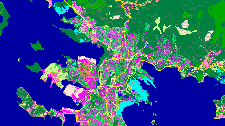
Huge project for RF, GIS and WEB-applications that covers: - 20 countries - 9 466 islands - 571 650 sq.km of land areas - 14 350 000 sq,km of total area
Maps include all usual layers: DTM, Land Use, Vectors and additional layer of POIs for each island.
Download brochure for more information about South Pacific Islands

