Using Clutter Heights Data For 5g Planning Within Countries
The geospatial data accuracy and specification requirements for 5G radio propagation and optimization are much higher than those used in planning 2G and 3G networks. The fast-moving development of 5G mobile networks worldwide and the regular use of 4G networks in everyday life encourages the improvement of network design.
Due to the nature of 5G and mmWave, which are highly dependent on line-of-sight, even small obstacles can degrade or block the signal. Therefore, the need for detailed Obstacle Height data when planning these networks becomes crucial.
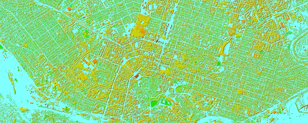
It is known that the minimum set of geospatial data required to provide the process of network planning and optimization within a country includes a Digital Terrain Model, Clutter, and a set of Linear objects. The Clutter Height Model is an additional layer that describes all obstacles that can affect signal transmission between devices.
Clutter Heights layer allows wireless planners to improve signal attenuation predictions and assist in finding the optimal location of network base stations and other wireless system transmitters within a country or large region.
Traditional obstacle databases only define an average clutter height assigned to the entire obstacle category. For example, the overall height of rural buildings may be defined as 5m and will be assigned to the whole region that falls into this category. Obviously, in the real world, structures, buildings, etc. will not be the same height. The same goes for vegetation.
Therefore, for correct regional planning of 5G networks, individual heights should be assigned to each cell in the clutter matrix.
The Clutter Heights Model provides valuable information about the surrounding environment, helping to predict radio wave propagation, interference patterns, and signal strength in regions.
The Clutter Height layer or Digital Heights Model (DHM) is an essential part of 2.5D maps that represent the elevation differences in the terrain and provide detailed data on the height of the surface at specific points. Clutter Height data helps to determine the best locations for communication towers and antennas.
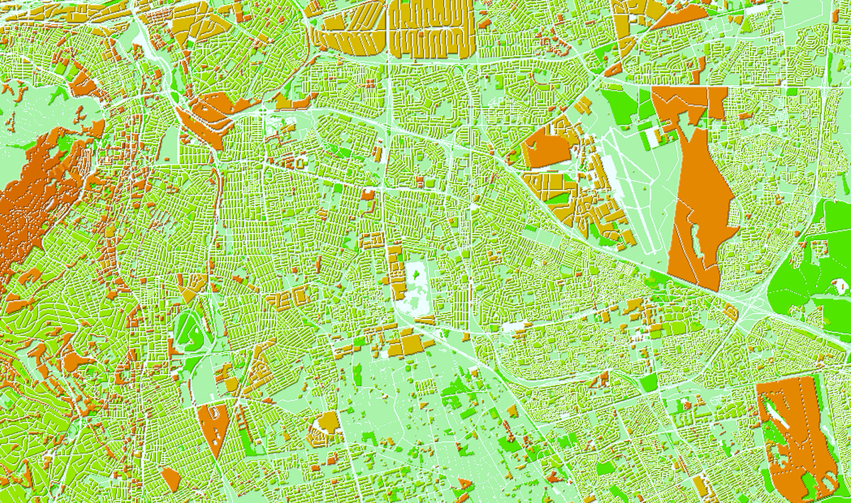
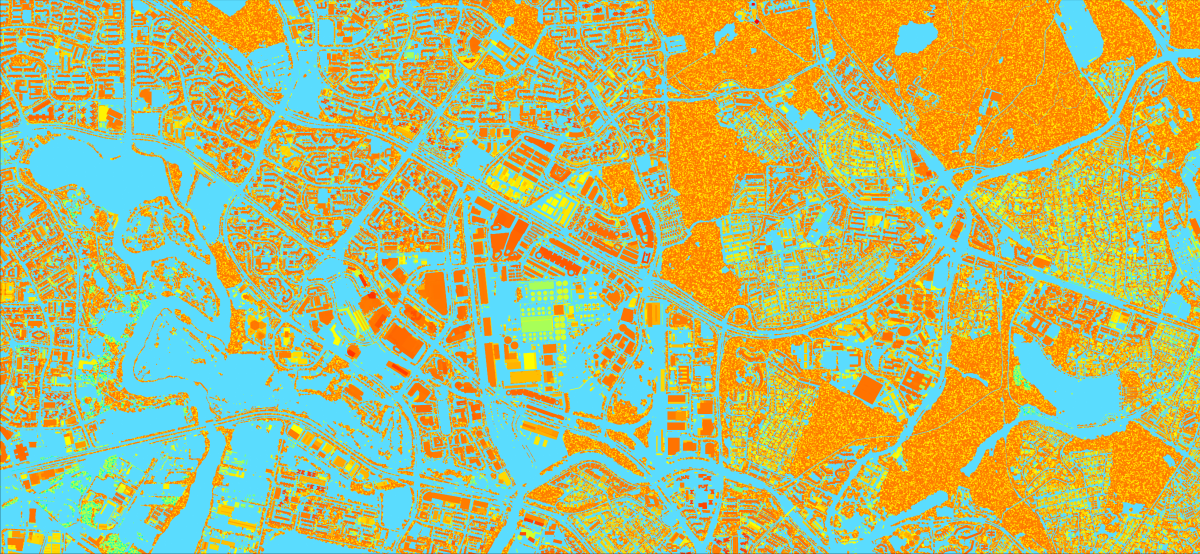
Modern methods used to build Clutter Heights Models include automatic obstacle detection from satellite images and machine learning algorithms to build an obstacle model for large areas—region and country. For densely populated countries, a 5m model can be created, where Clutter Heights is built based on 3D Buildings and 3D Vegetation vectors and provides almost uniform accuracy of obstacle heights across the country within 3-4m.
The best choice for 5G rollout in large regions is a 10 m resolution Regional Model with an extended set of clutter classes, more detailed urban areas' classification, and additional vegetation layers. To create the Clutter Heights layer in 10m models, we use individual height sets for each clutter type, taking into account the country's specifics such as building type, density, regularity, vegetation types (including tree species), and terrain features. Subsequently, heights are assigned to each cell of a 10mx10m matrix. In this scenario, the accuracy of heights in the Clutter Heights Model typically varies from 5 to 7 meters.
Our projects realized in 2022-2023 for 2.5d regional models
- Czech Republic
- Austria
- Greece
- Slovakia
- Montenegro
- North Macedonia
- Croatia
- United Kingdom
- Belgium
- Georgia
- Philippines
- Jordan
- Singapore
- South Korea

