Urbanization is rapidly reshaping how cities grow and function. To support sustainable, efficient development, planners increasingly rely on accurate land use and land cover datasets. These datasets enhance infrastructure planning, improve public services, and empower cities with data-driven decision-making.
Below are the five key applications of land use data.
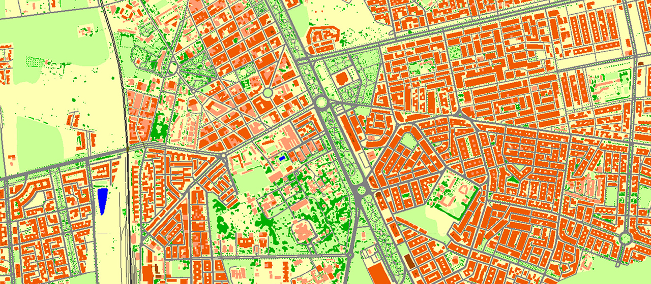
1. 🏢 Supporting Property Tax Systems and Estimating Population Distribution
2.5D and 3D maps significantly improve property assessment by considering both land coverage and building volume.
2.5D maps provide:
• Building height information
• Density analysis
• Preliminary population estimation
• Initial property valuation
3D maps enable:
• More accurate taxation parameters
• Urban development scenario modeling
• Visualization of schools, kindergartens, and healthcare facilities
2. 🚑 Boosting Public Safety and Optimizing Emergency Response
Land use and land cover data strengthen emergency response systems by:
• Improving dispatch accuracy
• Highlighting vulnerable areas
• Optimizing access routes
• Reducing response times
They are essential for next-generation emergency solutions integrating GIS and geolocation technologies.
3. 🌱 Implementing Erosion Control Strategies and Soil Conservation
Land use data helps identify erosion-prone areas and supports planning:
• Buffer zones
• Retaining walls
• Vegetation barriers
These measures protect soil, reduce sedimentation, and ensure environmental balance.
4. 📶 Planning Broadband and 5G Network Expansion
Accurate land use data is crucial for telecom planning. It helps identify:
• Densely populated areas
• Vertical structures influencing signal
• Underserved regions
This supports the effective rollout of broadband and 5G networks.
5. 🗺️ Supporting Precise Land Use Planning for Sustainable Development
Land use datasets help authorities:
• Design zoning regulations
• Plan transport infrastructure
• Allocate land for public services
• Preserve green zones
They support resilient, sustainable, future-ready cities.
At VISICOM, we provide high-resolution geospatial data that helps city planners, government agencies, and infrastructure providers make informed decisions.
For consultations or sample data, contact: [email protected]

