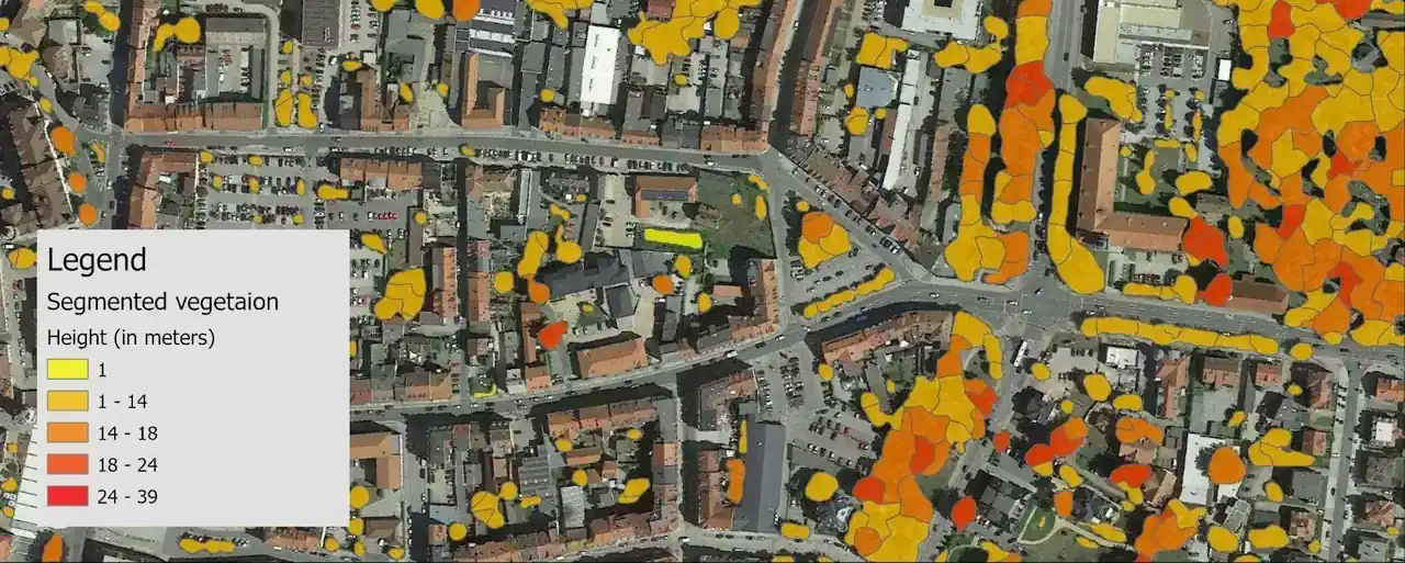
Trees heights prediction by Convolution Neural Networks (CNN)
It is known, that the higher the frequencies of radio signals, the more their propagation is affected by obstacles' influence. It means any kind of object between the transmitter and receiver works as a barrier, deteriorating the radio signal propagation. Therefore, such impact should be considered in the case of 5G networks with a frequency range from 450 MHz to 6 GHz and from 24.25 GHz to 52.6 GHz. The vegetation presented by an array of crowns of trees and every single vegetation unit and bushes must be embedded into the mapping models.
As a rule, a contemporary city involves many parks, squares, recreation areas, tree plantations, etc. In some cities, the buildings are entirely shrouded in foliage.
Thus, there is a task to correctly identify the vegetation and map it in the obstacle models with the required accuracy and details. 5G networks are deployed without bearing in mind the 3D trees do not correspond to the 5G planning demands and lead to lower connectivity. On the other hand, 3D Tree models ensure an accurate and reliable 5G network planning process, allowing the placing of a required number of base stations for stable signal and full coverage.
One of our projects was the creation of 3D models of 146 cities in Germany for 5G network deployment for the national operator. Accordingly, 3D Tree models should be produced for more than 1,500 sq.km with the high quality and accuracy required for 5G planning.
The best and most reliable sources for deriving accurate vegetation heights are LIDAR data and stereo aerial photos. But these data are usually enough expensive and not always available for the coverage of large areas.
For this project, our R&D department created the technology of a previously trained Convolutional Neural Network (CNN) model trained with available sources for two cities – aerial images and LIDAR data for Bautzen city and Plauen city - for further deployment of the obtained results for other cities.


