WE ARE PLEASED TO PRESENT OUR UPDATED 2026 GEODATA PORTFOLIO.
We have expanded the information about our available mapping products and updated our dataset offerings, making it even easier to find the geospatial data you need for your projects.
The VISICOM Geodata Portfolio includes a wide range of geospatial products:
- 3D City Models
- Building Footprints
- Digital Elevation Models (DTM/DEM)
- Land Use / Land Cover
- Address Points
- Road Networks
- Administrative Boundaries
- Population Maps
- Water Bodies Network and other geodata.
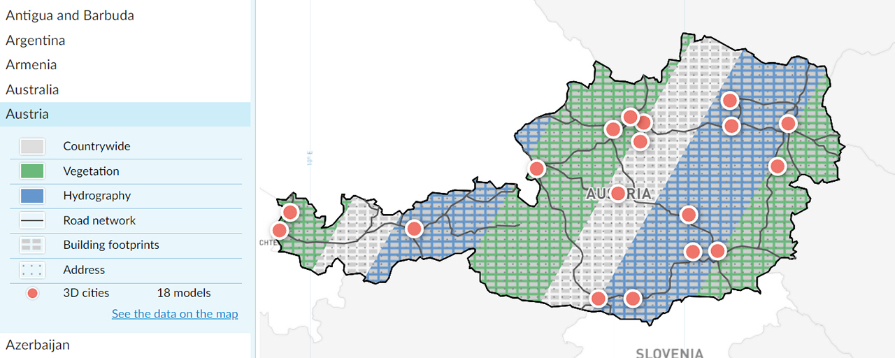
Our Geodata Portfolio simplifies the initial stage of project planning by allowing customers to:
- select a country of interest;
- review available geospatial products;
- evaluate dataset coverage;
- identify suitable data before requesting a quotation or contacting VISICOM.
This helps you reduce the time needed to assess data availability and accelerates the planning and procurement process.
Explore the VISICOM Geodata Portfolio: https://visicomdata.com/geodata-portfolio
VISICOM geospatial products are used in projects across multiple industries, including:
- telecommunications;
- navigation and location-based services;
- transportation;
- GIS and spatial analytics;
- Smart City initiatives;
- utilities;
- environmental and infrastructure projects.
We regularly update the Geodata Portfolio by adding new countries, products, and datasets, helping our customers access the latest information in one place.
If you cannot find the data you need or are looking for a customized geospatial solution, contact our team at [email protected].
We will be happy to help you find the geospatial data that best fits your project.