VISICOM will participate in INTERGEO 2026, the international leading trade fair for geodesy, geoinformation and land management, taking place on 15–17 September 2026 at Messe München, Germany.
This year we will explore how digital twins, GeoAI, earth observation, BIM and connected geospatial data infrastructures are transforming decision-making in both the public and private sectors.
For VISICOM, INTERGEO is an opportunity to meet our partners and clients face to face, establish new connections, exchange expertise and discuss the evolving requirements of geospatial projects worldwide.
At our stand (Hall B6, Stand B032), visitors will be able to learn more about VISICOM’s experience in creating and processing geospatial data for telecommunications, mapping, navigation, urban modelling and other location-based applications.
2026 year. Different Markets. Different Data Challenges.
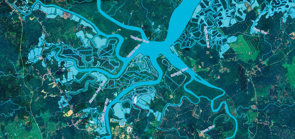
Our recent projects reflect the diversity of today’s geospatial data requirements. From hydrography and transport network projects in Southeast Asia to 3D, terrain and telecommunications datasets for European markets, VISICOM works with different source environments, data structures and project specifications.
Creating reliable geospatial datasets often requires much more than geometry alone. Depending on the project, our work may include source analysis, feature classification, attribution, naming conventions, localization, network connectivity and quality control.
Working across different countries also means adapting to local geographic and linguistic specifics while maintaining consistent data structures and quality standards.
Different countries. Different sources. Different requirements. One challenge: turning geographic information into usable geospatial data.
Hydrography and Transport Network Expertise
Hydrography and transport networks have become particularly strong areas of VISICOM’s recent project experience.
Our transport network expertise covers road and railway data, including network structure, connectivity, classification and attribution. These datasets can support mapping, navigation, infrastructure analysis and other location-based applications.
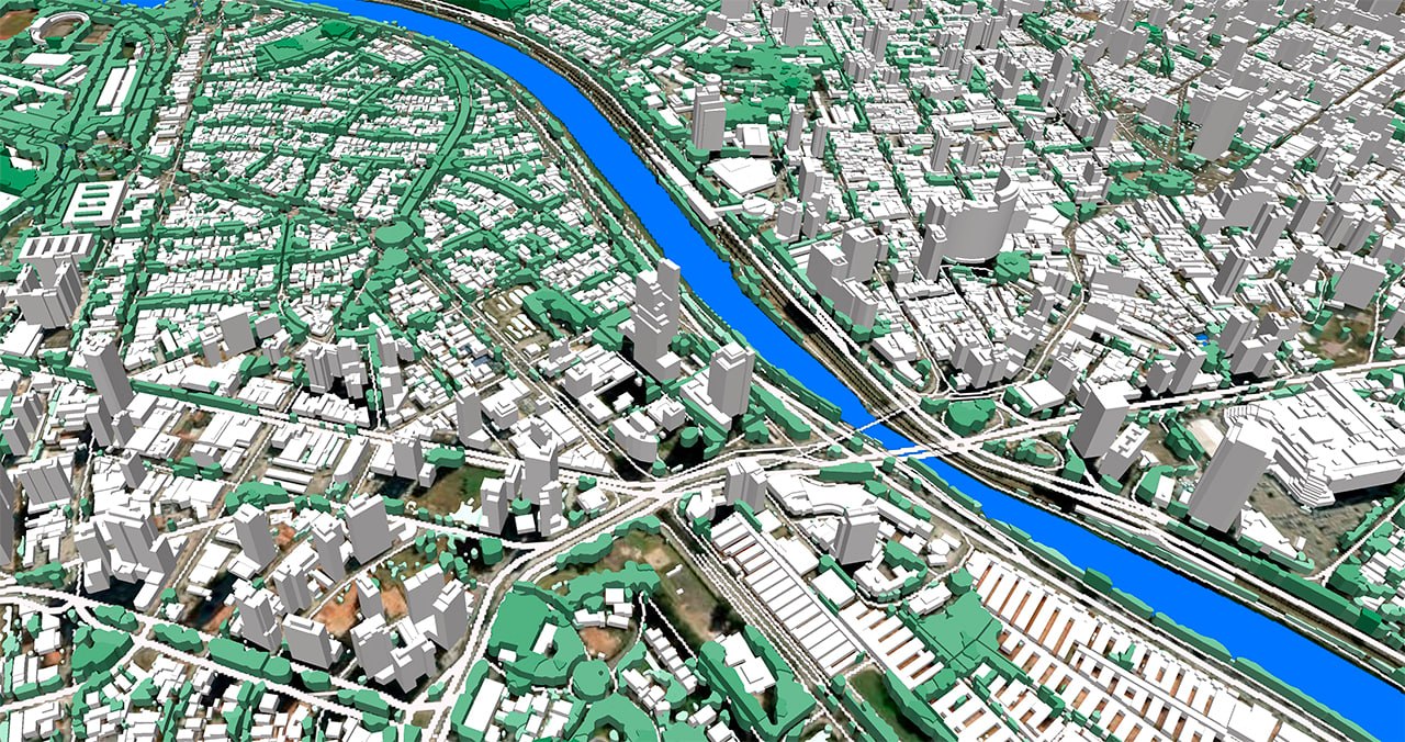
At the same time, VISICOM continues to develop its established expertise in 3D geospatial data and telecommunications, including terrain models, 3D buildings, clutter and clutter-height datasets for RF planning and other applications.

Our team will be ready to discuss solutions including:
- 2D, 2.5D and 3D geospatial datasets
- 3D building models and urban geodata
- DTM, DSM and terrain data
- Clutter and clutter-height data for RF planning
- Transport network data
- Hydrography datasets
- Population and demographic geodata
- Customized geospatial datasets for specific project requirements
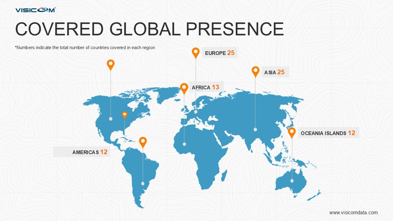
With decades of experience in geospatial data production and projects covering markets around the world, VISICOM continues to develop datasets adapted to the technical requirements of telecom operators, GIS providers and other organizations relying on accurate location intelligence.
Save the date and meet VISICOM in Munich!
INTERGEO 2026
15–17 September 2026
Messe München, Munich, Germany
VISICOM – Hall B6, Stand B032
Our team will be happy to see you at INTERGEO 2026!