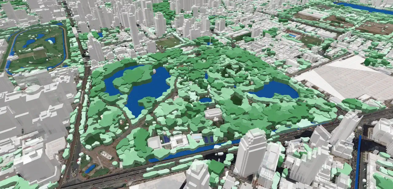
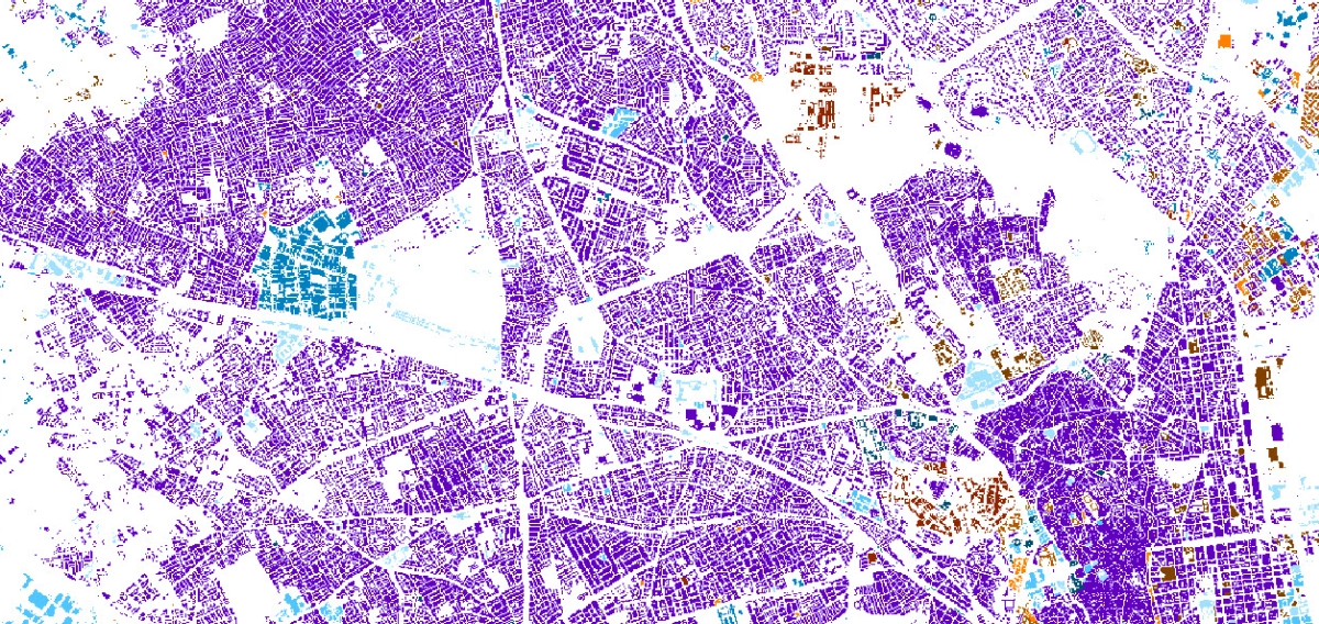
Clutter/Land Use Map
The term “Clutter” refers to a Land Use/Land Cover classification of surface features. They are classified into different classes: classes of built-up areas, water classes, and classes of landscape and vegetation. As a rule, Clutter is generally produced from multispectral satellite imagery by automatic and partly manual photo-interpretation.
This level of classification depends on particular applications: urban, suburban or regional. For example, the ‘urban and built-up’ class includes ‘residential,’ ‘commercial,’ and ‘industrial’ subclasses. Correspondingly, each class can be subdivided into more detailed classes - subclasses. Ranked/classified and mapped land cover is an integral step in understanding the Earth's biophysical systems, urban development, and managing.
A Land use map is a basic input for the prediction of different types of environmental management – both human activity and natural processes. Visicom geospatial data provide a high level of details in urban and suburban areas that allows recognizing, visualize and analyze the changes both in the natural and man-made environment.
Land Use details vary from 12 to 32 Clutter classes, from general map morphology to separate buildings in terms of meeting the concrete project needs.
We guarantee
Our manager and production teams are customer-oriented professionals highly skilled in RF planning process. Our production and sales infrastructure allows to realize the projects of various difficulty, complexity and scope supporting high-level data quality
Precise and up-to-date mapping information
Detailed and high-resolution terrain
Delivery in any RF planning tool and GIS format
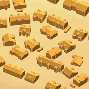
Extra-accurate 3D buildings
Flexible price fitted to customer budget
Flexible price fitted to customer budget
Data formats
Alcatel A955
ICS Telecom
MapInfo
Pathloss
ASCII XYZ
ER Mapper Raster
Aircom Asset
NetPlan
Microstation
Mentum Ellipse
Raster images
ENVI Image Format
Atoll Forsk
AutoCAD
Neva
Mentum Planet
TIFF and GeoTIFF
Generic Binary
CelPlanner
ESRI ArcGIS
Odyssey
Nokia NetAct
ERDAS Imagine Image


Order product
Please, contact us directly if you have question
We always reply within 24 hours