VISICOM REGIONAL MAPS LINE
CREATED USING AI TECHNOLOGY OF MULTISPECTRAL SATELLITE IMAGES PROCESSING
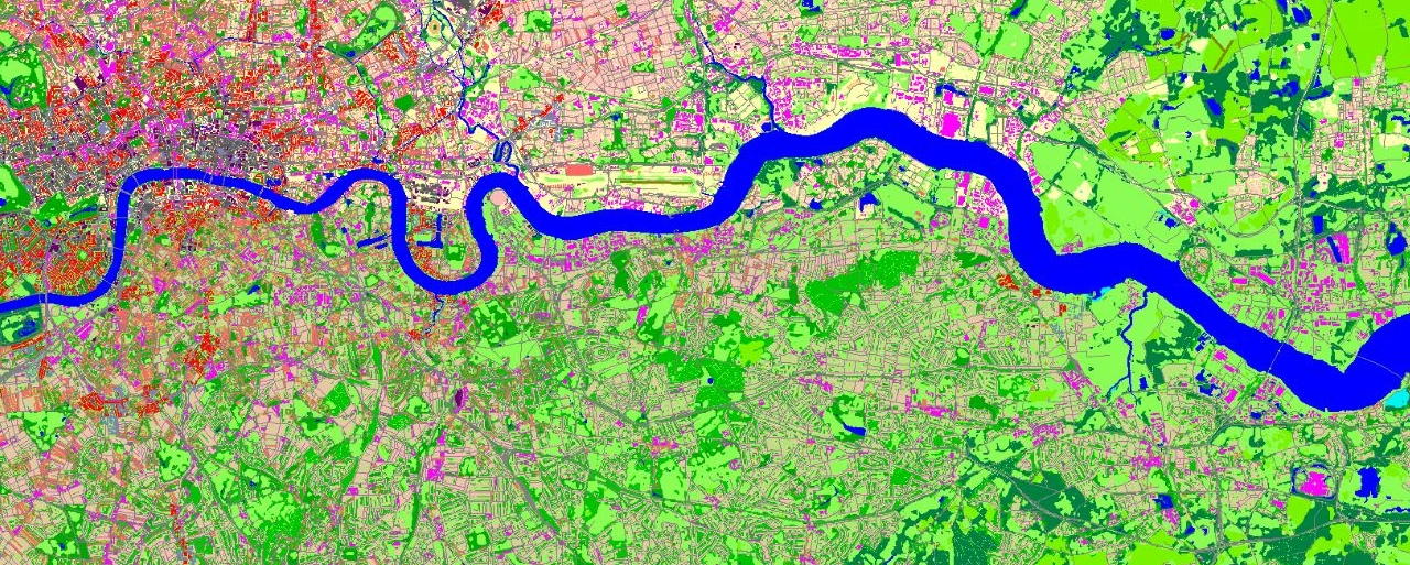
The manual data correction process and multilevel quality control provide accurate, consistent and detailed landscape and urbanized areas classification
Products features:
- 10m resolution
- Accurate land use classification
- Last available administrative division
- Imagery source: 5m and 10m resolution multispectral images
- Vintage: 2021-2022
- Easy to use due to supporting of all major RF-planning tools and GIS formats
DATA FORMATS: ATOLL, ASSET, PLANET, ESRI shp, MapInfo, ICS Telecom, GeoTIFF and others
Products include:
- Digital Terrain Model (DTM_
- Clutter/Land Use Model
- Street/Road Networks
- Railways
- Water Objects
- Detailed Administrative Boundaries
Supported industries:
- Telecom
- Climate change mitigation
- Flood mapping
- Green infrastructure deployment
- Utilities
- Transportation

