Visicom proposes a complete portfolio of mapping products to support mobile operators in their journey toward 5G and beyond.
- Philippines 2D Regional Model
- Area – 300 000 км²
- 5m or 10m resolution
- Accurate land use classification
- Last available administrative division
- Vintage: 2022
- Philippine's 2.5D Regional Model that includes an additional layer of Clutter Height, that in concert with clutter and terrain data, is an important additional geodata option for RF-engineers, providing them an estimate of the height of clutter data on a per-cell basis
- Population Distribution Model for the entire country, 10m resolution
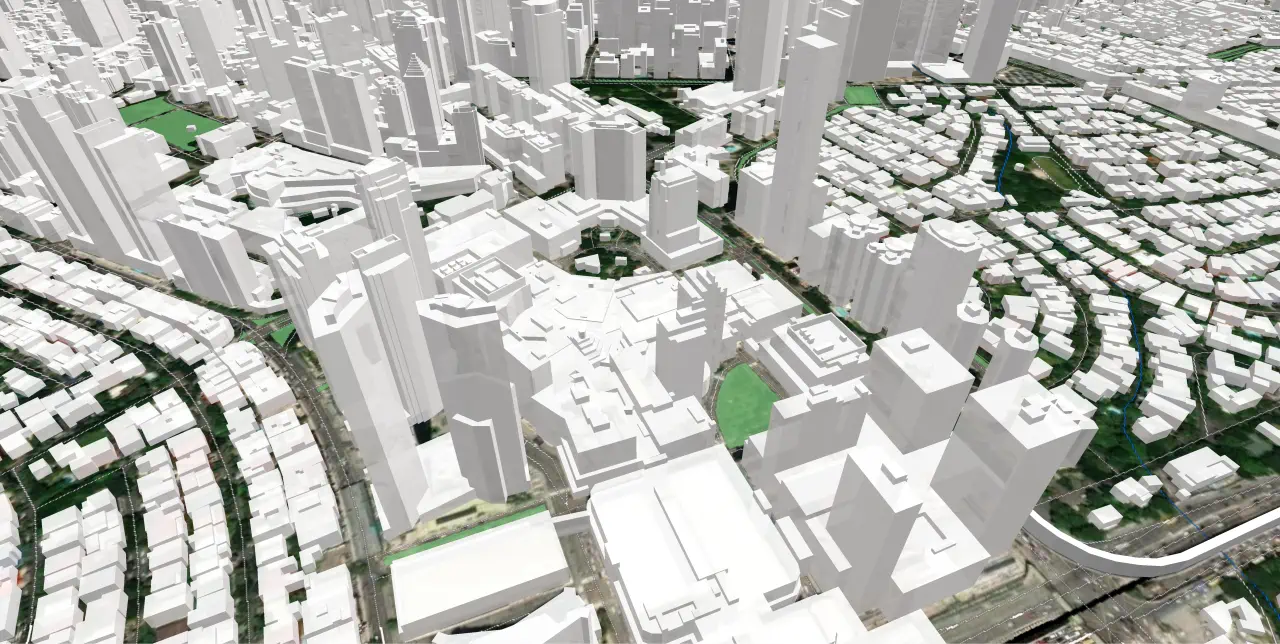
- 3D Model of Manila – 1m or 2m resolution. 3D Model includes Terrain data, 3D Buildings, 3D Trees, 3D Bridges, vector layers and Land Use classified into 28 classes. All these elements together provide an accurate and detailed representation of city infrastructure that is an obvious source for accurate RF planning
3D Models provide an accuracy range at various levels of detail required by wireless operators and ensure high quality and compatibility with all wave propagation models.
Philippines Geodata are delivered in any RF planning software – Forsk Atoll, Teoco Asset, Infovista Planet, ATDI ICS Telecom, Ranplan Professional, etc.


