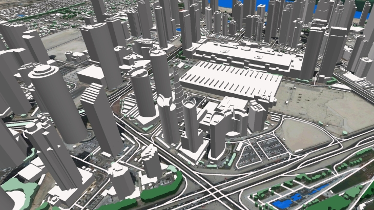
Despite the COVID-19 and quarantine, Visicom team worked very efficiently in 2020. Particularly, in the 4th quarter of 2020, we completed 25+ projects for more than 2,500,000 sq km, providing high-quality geodata for various customers and markets (telecom, solar energy, architecture, smart cities, etc.). We sincerely thank all our partners and customers for their trust, loyalty, and support as well as for new interesting opportunities and projects.
Our completed geo projects in Q4 2020:
3D maps, total area - 126000sq.km:
- 3D map of Croatia countrywide
- 3D map of Bahrain countrywide
- 3D map of the Czech Republic countrywide
- 3D map of Hungary countrywide
- 3D map of 30 Belarus cities
- 3D map of Doha, Qatar
- 3D map of Sydney Metro and Melbourne metro, Australia
- 3D map of Phnom Penh, Cambodia
- 3D map of Cairo, Egypt
- 3D map of Mecca and Riyadh, Saudi Arabia
- 3D map of Almaty, Shymkent, Nur-Sultan, and Aktau, Kazakhstan
- 3D map of Ulaanbaatar, Mongolia
- 3D maps of Nepal, Nigeria, Seychelles, St Lucia cities for solar energy project
- 3D map of Dodoma and Dar es Salaam cities, Tanzania
- 3D map of 25 Ukrainian cities
2D maps, total area - 1853000sq.km:
- 2D map of Ukraine countrywide
- 2D map of Belarus countrywide
- 2D map of Burundi countrywide
- 2D map of Cambodia countrywide
- 2D map of Haiti countrywide
- 2D map of Timor-Leste countrywide
- 2D map of Vietnam countrywide
- Other 2D – over the world
2.5D maps, total area - 237000sq.km:
- 2.5D map of Bathurst and Ballarat cities, Australia
- 2.5D map of Dodoma and Dar es Salaam cities, Tanzania
- 2.5D map of 30 Belarus cities
Population maps, total area - 598000sq.km:
- Burundi countrywide
- Cambodia countrywide
- Haiti countrywide
- Timor-Leste countrywide
- Vietnam countrywide


