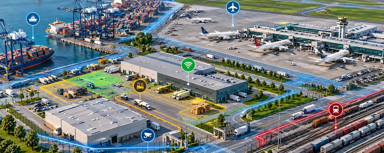
When we think about a map of an airport, port, railway terminal or industrial site, we usually imagine a map made for people.
But today, these environments are also used by robots, autonomous vehicles, cameras, sensors and other connected devices. This creates a practical need for detailed information about the physical environment.
What do we mean by an outdoor map?
By outdoor maps, we mean detailed geospatial data describing open-air environments such as industrial sites, airports, ports, railway facilities and logistics centres.
Depending on the project, this may include buildings, internal roads, railway tracks, entrances and gates, parking and loading areas, fences, pedestrian routes and other infrastructure.
The purpose is not simply to show where a facility is located, but to describe what is actually there and how different parts of the site are connected.
One place, different needs
The same site can look very different from the perspective of its users.
A person may need entrances, roads and pedestrian routes. A maintenance team may need the location of equipment and infrastructure. A robot or autonomous vehicle may need available routes, gates, barriers and restricted areas. Cameras and sensors need to be connected to specific locations or assets.
In each case, geospatial data provides the spatial context: where something is, what is around it and how it relates to the rest of the environment.
From navigation to network planning
Outdoor geospatial data can also support communication network planning.
At a factory, airport, port or logistics centre, the objective is not simply to provide signal coverage. The network may need to support AGVs, cameras, sensors, wearables and other connected equipment.
Buildings and other structures can block, reflect or diffract radio signals. Outdoor signals may also penetrate buildings and interact with indoor coverage. Detailed information about the physical environment therefore becomes an important input for network planning.
The question is no longer only: “Is there coverage here?”
but also: “Will the required service work reliably here?”
One map does not fit every project
There is no single outdoor map suitable for every application.
Navigation, autonomous systems, asset management, monitoring and network planning all require different objects, attributes and levels of detail.
So perhaps the first question should not be “What can we map?”, but:
“What needs to work in this environment — and what geospatial information does it need?”
At VISICOM, outdoor geospatial datasets can be developed around the requirements of a particular environment and application. Because a useful outdoor map is not just a detailed picture of a place. It is geospatial data built around what needs to happen there.
VISICOM carries out geospatial data projects for seaports, factories, mining sites, and other industrial facilities.
One example is a 3D model of a port near Lima, Peru.

