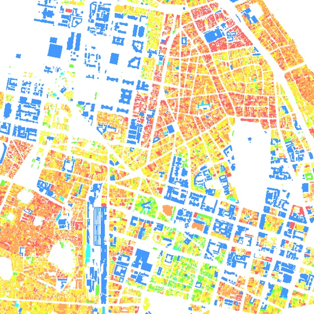
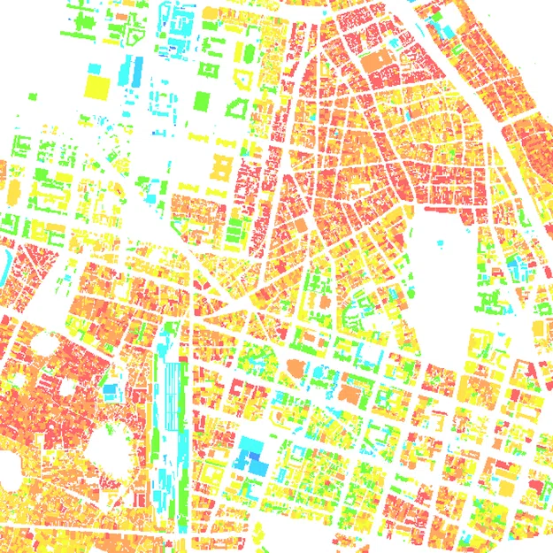
Vector Population Map
Population map can be delivered as vector model in .tab or .shp format
Both day and night population distribution models are provided as well
Vector population map provides the following attributes of vector polygons of built-up areas:
- ID – unique identifier of each built-up block
- Population – calculated population for each built-up block
- Density – calculated density per each block of built-up area (inhabitants/sq.km)
Administrative division is delivered together with a Population Map
Population maps sources:
Clutter Model: urban classes are selected to distribute the population: village, residential with trees, residential with few trees, dense residential, urban, dense urban, high buildings, building blocks, commercial and industrial
- Boundaries of administrative units
- Last available Official Census population figures and official population forecast for the present year
We guarantee
Our manager and production teams are customer-oriented professionals highly skilled in RF planning process. Our production and sales infrastructure allows to realize the projects of various difficulty, complexity and scope supporting high-level data quality
Precise and up-to-date mapping information
Detailed and high-resolution terrain
Delivery in any RF planning tool and GIS format
Extra-accurate 3D buildings
Flexible price fitted to customer budget
Flexible price fitted to customer budget
Data formats
Alcatel A955
ICS Telecom
MapInfo
Pathloss
ASCII XYZ
ER Mapper Raster
Aircom Asset
NetPlan
Microstation
Mentum Ellipse
Raster images
ENVI Image Format
Atoll Forsk
AutoCAD
Neva
Mentum Planet
TIFF and GeoTIFF
Generic Binary
CelPlanner
ESRI ArcGIS
Odyssey
Nokia NetAct
ERDAS Imagine Image


Order product
Please, contact us directly if you have question
We always reply within 24 hours