Architecture
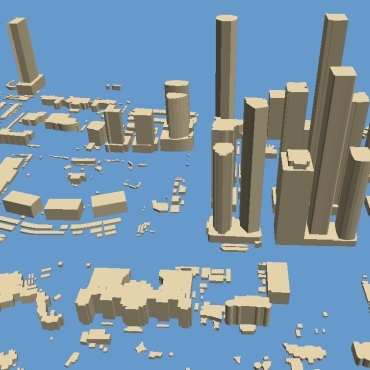
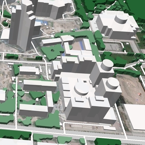
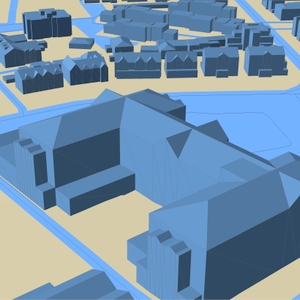
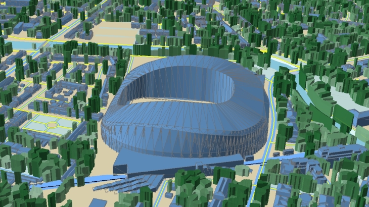
3D modelling is an essential part of the architecture design industry, providing a detailed visual representation of the built environment and urban landscapes.
Visicom supports architects and engineers in multiple industries with precise and accurate geodata:
- 3D Buildings, 3D Bridge and 3D Tree models
- Landscape and Terrain features
- Vector data of Streets and Roads networks
- POIs (Objects of city infrastructure)
We provide ready-to-use 3D maps for urgent projects and produce any other layers on your request.
Our 3D geodata will help you with any urban design project, bringing the geographic context into your project and creating a real-world 3D picture.
3D Buildings, 3D Trees, and Elevation models are delivered in formats compatible with most 3D application tools like Rhino, ArcGIS and CAD.
Download the free data samples for Dublin, Riaydh,Dubai, London
Ask us for free data samples
We guarantee
Our manager and production teams are customer-oriented professionals highly skilled in RF planning process. Our production and sales infrastructure allows to realize the projects of various difficulty, complexity and scope supporting high-level data quality
Precise and up-to-date mapping information
Detailed and high-resolution terrain
Delivery in any RF planning tool and GIS format
Extra-accurate 3D buildings
Flexible price fitted to customer budget
Flexible price fitted to customer budget
Data formats
Alcatel A955
ICS Telecom
MapInfo
Pathloss
ASCII XYZ
ER Mapper Raster
Aircom Asset
NetPlan
Microstation
Mentum Ellipse
Raster images
ENVI Image Format
Atoll Forsk
AutoCAD
Neva
Mentum Planet
TIFF and GeoTIFF
Generic Binary
CelPlanner
ESRI ArcGIS
Odyssey
Nokia NetAct
ERDAS Imagine Image


Order product
Please, contact us directly if you have question
We always reply within 24 hours