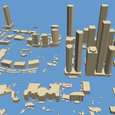
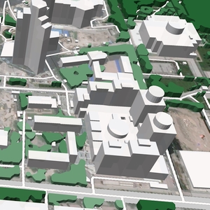
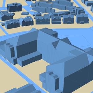
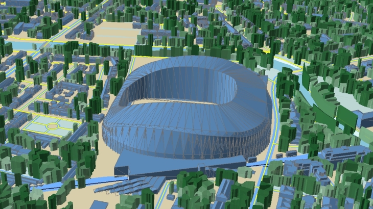
3D City Models
3D Maps produced for any urbanized territory provide customized solutions for each client.
Various levels of buildings details can be applied for various application supporting their specific demands.
The product may include:
- 3D buildings along with attributes of name, type, address and roof details
- 3D vegetation
- 3D bridges and other engineering constructions
- Terrain model
- Road/Streets network
- Addresses database,
- POIs,
- etc
3D features derived from high-resolution stereo satellite imagery, air photos, LIDAR data provide precise and up-to-date real world representation.
Applications:
▪ 5G networks design ▪ Smart Cities projects ▪ Solar Energy Planning ▪ Environmental Management
▪ Architecture and Urban Planning ▪ Real Estate ▪ Planning of Utility Networks
We guarantee
Our manager and production teams are customer-oriented professionals highly skilled in RF planning process. Our production and sales infrastructure allows to realize the projects of various difficulty, complexity and scope supporting high-level data quality
Precise and up-to-date mapping information
Detailed and high-resolution terrain
Delivery in any RF planning tool and GIS format
Extra-accurate 3D buildings
Flexible price fitted to customer budget
Flexible price fitted to customer budget
Data formats
Alcatel A955
ICS Telecom
MapInfo
Pathloss
ASCII XYZ
ER Mapper Raster
Aircom Asset
NetPlan
Microstation
Mentum Ellipse
Raster images
ENVI Image Format
Atoll Forsk
AutoCAD
Neva
Mentum Planet
TIFF and GeoTIFF
Generic Binary
CelPlanner
ESRI ArcGIS
Odyssey
Nokia NetAct
ERDAS Imagine Image


Order product
Please, contact us directly if you have question
We always reply within 24 hours